Images
Vidéos

13950786 - Drought in Valdecanas reservoir, Spain, satellite image
12970383 - Durdle Door arch at night.

12948467 - Sunset over Lake Michigan, USA
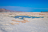
13963795 - Dead Sea, Israel
13963794 - Dead Sea, Israel

12950693 - Iceland, LiDAR image
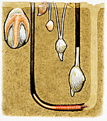
13478506 - Animals living in burrows on sandy shores, illustration
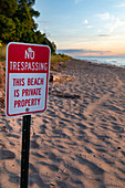
12948491 - Private beach, Lake Michigan, USA

12948492 - Private beach, Lake Michigan, USA
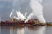
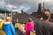
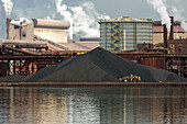
12446271 - Algoma Steel Mill, Canada
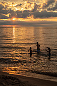
12948465 - Sunset over Lake Michigan, USA
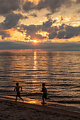
12948466 - Sunset over Lake Michigan, USA

12895569 - Dead Sea shore,Israel,aerial photograph
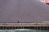
12446277 - Algoma Steel Mill, Canada
13963797 - Dead Sea, Israel
12446279 - Algoma Steel Mill, Canada
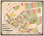
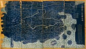
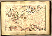
12450108 - Property map for New Amsterdam, 1642
12446280 - Algoma Steel Mill, Canada
13963798 - Dead Sea, Israel
12446283 - Algoma Steel Mill, Canada
12446282 - Algoma Steel Mill, Canada
12446278 - Algoma Steel Mill, Canada

12948490 - Private beach, Lake Michigan, USA
12446275 - Algoma Steel Mill, Canada
12446274 - Algoma Steel Mill, Canada
13963796 - Dead Sea, Israel
12896980 - Salt crystallization,Dead Sea,Israel
12446273 - Algoma Steel Mill, Canada
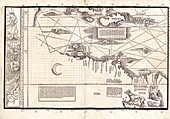
12257763 - Section of Waldseemuller's Carta Marina, 1516
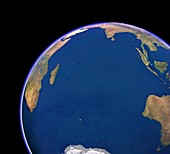
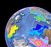
11723075 - Arctic and North American bathymetry
12896979 - Salt crystallization,Dead Sea,Israel
12446272 - Algoma Steel Mill, Canada
12257759 - Section of Waldseemuller's Carta Marina, 1516
11730637 - European naval restrictions,World War I
12446281 - Algoma Steel Mill, Canada
11946505 - Map of New York Bay,1670
12446276 - Algoma Steel Mill, Canada

13445804 - Aerial view of Tel Aviv, Israel
12257771 - Section of Waldseemuller's Carta Marina, 1516
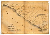
11946506 - Map of Liberia,1830
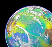
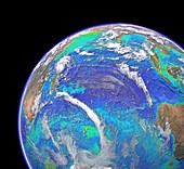
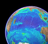
11723064 - Indian and Pacific ocean bathymetry
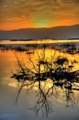
11700706 - Dead Sea at sunrise

11946504 - Map of the Atlantic coasts,1660
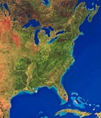
11710993 - Florida,US,Space Shuttle image
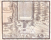
12257768 - Section of Waldseemuller's Carta Marina, 1516
12257764 - Section of Waldseemuller's Carta Marina, 1516
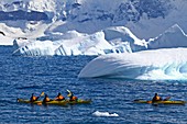
11719435 - Kayaks near icebergs,Antarctica
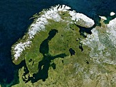
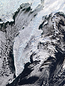
11657973 - Scandinavia,satellite image
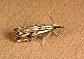
11732833 - Chequered grass-veneer
11710522 - Moonrise over the Caspian Sea
11648934 - Indian Ocean,surface temperatures

11587348 - Early human settlement,artwork
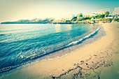
11806622 - Tranquil coastline
11648931 - Indian Ocean,chlorophyll concentration
11736121 - New Zealand,satellite image
11648930 - Indian Ocean,surface temperatures
11806388 - Rocks in the sea
11648927 - Indian Ocean,cloud-free
11656304 - Strawberry anemone
11648932 - Indian Ocean,satellite imaging data
12049874 - Pacific Waves Crashing on Rocks
11740030 - Beach

11648928 - Indian Ocean,with clouds
11648929 - Indian Ocean,sea floor topography
11570619 - Glacial lake,Iceland
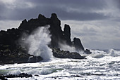
11740113 - Rocky coastline

11648937 - Indian Ocean,sea floor topography
11591800 - 18th Century map of the Qing Empire
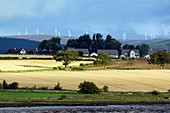
11587289 - Rural landscape,Scotland
11740112 - Sea stack formations
11648935 - Indian Ocean,chlorophyll and bathymetry
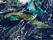
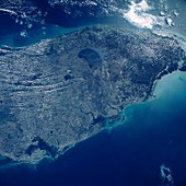
11736062 - Cuba
11648936 - Indian Ocean,chlorophyll concentration
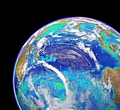
11735834 - East coast of America
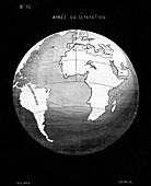
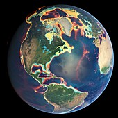
11904854 - Snider-Pellegrini geological theory,1858
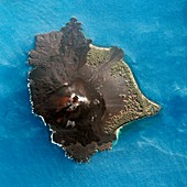
11740839 - Anak Krakatau volcano satellite image
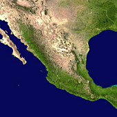
11736124 - Mexico,satellite image
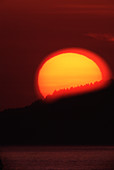
11883756 - Sunset
11648933 - Indian Ocean,chlorophyll and bathymetry
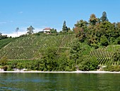
11637864 - French vineyard

11806369 - Aerial view of Santorini,Greece

11546340 - Rhizophora mangle
11746464 - Kamchatka Peninsula
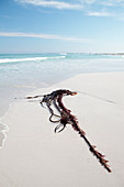
11806917 - Kelp on beach
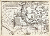
11735538 - Europe,16th century nautical map
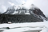
11566890 - Shores of Lake Louise,Canada
11746466 - Kamchatka Peninsula
11806346 - Empty beach
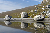
12057282 - Glacial Erratics
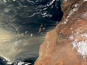
11737770 - Sand storm over Canary Islands

12057359 - 'Ningaloo Reef,Western Australia'
11565983 - Prehistoric sea level map,Europe
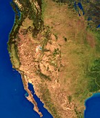
11735831 - West coast of America

12073313 - Heceta Head Lighthouse,Oregon Coast

11801253 - Heart shape on sandy beach,artwork
12057348 - Sandy Beach & Clouds
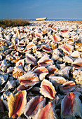
11911268 - Conch shells
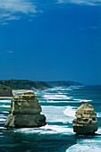
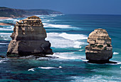
11740111 - Sea stack formations
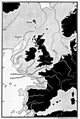
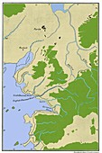
11565984 - Prehistoric sea level map,Europe
page suivante
Rivages Photos ❘ Science Photo Library