Images
Vidéos
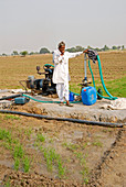
11748473 - Irrigation pump,India

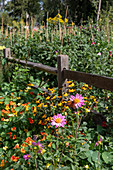
11748574 - Gardener applying potash fertiliser

13950888 - Food sustainability, conceptual illustration
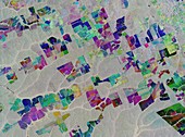
13950784 - Lithium mine, Uyuni, Bolivia, satellite image
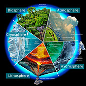
13736520 - Earth's climate system, illustration
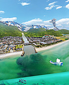
13736750 - Earth's climate system, illustration
13950783 - Land cleared for soybeans and cattle, Roque Perez, Argentina, satellite image
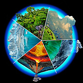
13736751 - Earth's climate system, illustration
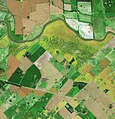
13950782 - Corn fields, Iowa, USA, satellite image
13736521 - Earth's climate system, illustration
13736522 - Earth's climate system, illustration
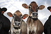
13416966 - Jersey cows
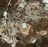
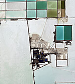
13950787 - Copper and cobalt mines, Kolwezi, DR Congo
13405844 - Outdoor restaurant during covid-19 pandemic
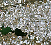
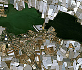
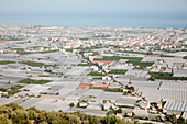
13950765 - Greenhouses in Almeria, Spain, satellite image
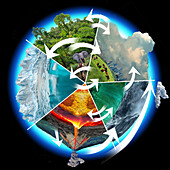
13736755 - Earth's climate system, illustration

12960525 - Cattle feedlot,Colorado,USA
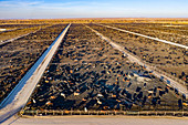
12960522 - Cattle feedlot,Colorado,USA
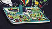
13839248 - Society book, conceptual illustration
13405843 - Outdoor restaurant during covid-19 pandemic
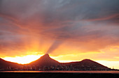
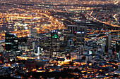
13417000 - View of Cape Town, South Africa at sunset

12960526 - Cattle feedlot,Colorado,USA
13950766 - Greenhouses in Almeria, Spain, satellite image
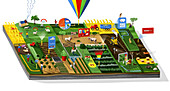
13839345 - Smart farming, conceptual illustration
13416995 - Cape Town, South Africa
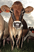
13416967 - Jersey cows
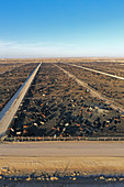
12960523 - Cattle feedlot,Colorado,USA
12950709 - Deforestation in Brazil, satellite radar image
12895701 - Vineyard planting,Detroit,USA
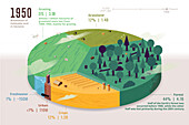
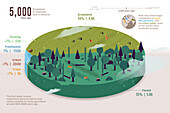
13744020 - Habitable land by type in 1950, illustration

13403613 - Hadrian's Wall
12991393 - Deforestation in Bolivia, Sentinel 2 image

13416993 - Cape Town, South Africa

13416994 - Cape Town, South Africa
12644715 - Blue Mountain Lake
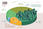
13744019 - Habitable land by type in 1900, illustration
13405845 - Outdoor restaurant during covid-19 pandemic
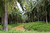
12493180 - Palm oil plantation, Borneo
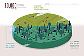
13744015 - Habitable land by type, 10, 000 years ago, illustration

13416997 - Cape Town, South Africa

13406719 - Water tower, Detroit, Michigan, USA
12540231 - Chernozem Black Earth cropland, Russia, satellite image
13416992 - Cape Town, South Africa
12540234 - Darfur, Sudan, satellite image

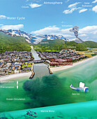
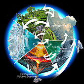
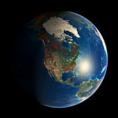
12991444 - Connected Earth systems, illustration
12960006 - Codex Quetzalecatzin,16th century
12895719 - Vineyard planting,Detroit,USA

13744017 - Habitable land by type in 1700, illustration
12950714 - Agriculture in Brazil, satellite image
12895721 - Vineyard planting,Detroit,USA
12583259 - Cut flower farm, Detroit, USA

12583255 - Cut flower farm, Detroit, USA
13744016 - Habitable land by type, 5, 000 years ago, illustration
13406718 - Water tower, Detroit, Michigan, USA

12646677 - Forest Fragmentation
12638888 - Palm oil plantation
12583263 - Cut flower farm, Detroit, USA
12540278 - Zaatari Refugee Camp, Jordan, satellite image
12540235 - La Mancha plateau, Spain, satellite image

12960524 - Cattle feedlot,Colorado,USA
12895720 - Vineyard planting,Detroit,USA
12540202 - Beijing, China, 2016, satellite image
12639631 - Windbreaks in Russia

12583256 - Cut flower farm, Detroit, USA
12644573 - African Oil Palm fruit
13743927 - Biodiversity threats, illustration
12950712 - Deforestation in Bolivia, satellite image
12583028 - Subsistence farming in rural Madagascar
11712809 - Cairo urban spread,satellite image
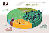
13744021 - Habitable land by type in 2018, illustration

13743928 - Biodiversity threats, illustration
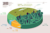
13744018 - Habitable land by type in 1800, illustration
12895699 - Vineyard planting,Detroit,USA
12638887 - Palm oil plantation
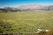
12302394 - Sheep grazing on the Lasithi Plateau, Crete, Greece

12644714 - Blue Mountain Lake
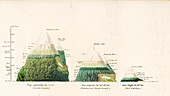
12582087 - Mountain climates in different latitudes, 1810s
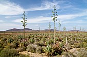
12302347 - Old sisal (Agave sisalana) plantation, Canary Islands
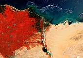
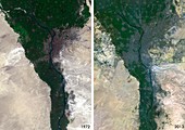
12540250 - River Nile Delta and Suez Canal, Egypt, satellite image
12895700 - Vineyard planting,Detroit,USA
12583262 - Cut flower farm, Detroit, USA

12638821 - Vegetable farm in Malaysia
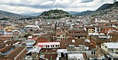
12052114 - Quito,Ecuador
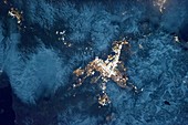
11698100 - Reno,USA,astronaut photograph
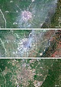
11712800 - Chengdu urban spread,satellite image
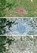
11712797 - Beijing urban spread,satellite image
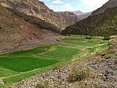
11703592 - Irrigated valley in Morocco

11698116 - Khartoum,Sudan,satellite image
11697350 - Earth's deforestation,2000-2012
12583260 - Cut flower farm, Detroit, USA

12581148 - Heather burning, Wales
11713241 - Maple syrup production
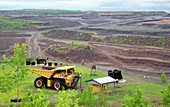
11703127 - Open pit iron mine,USA
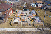
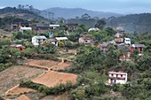
11728107 - Housing development and farms
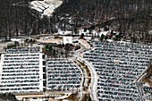
12420852 - Car park, USA
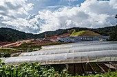
11702074 - Greenhouses,Turkey
12583258 - Cut flower farm, Detroit, USA
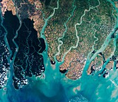
12325554 - Sundarbans, Bangladesh, satellite image
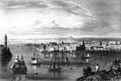
12324708 - 19th Century Havana, Cuba, illustration
page suivante
Utilisation des terres Photos ❘ Science Photo Library