Images
Vidéos
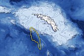
13378123 - Iceberg A68a approaching South Georgia
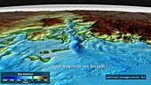
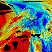
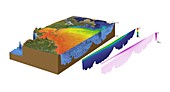
13243751 - Seabed topography, West Ragnhild Ice Stream, Antarctica
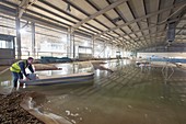
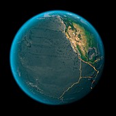
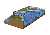
12986931 - Scale model of San Antonio port, Chile

12992110 - Seabed topography beneath Denman Glacier, Antarctica

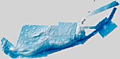
13243750 - Seabed topography beneath Byrd Glacier, Antarctica

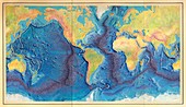
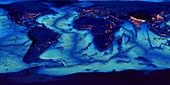
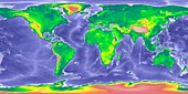
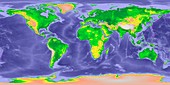
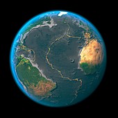
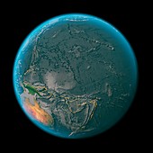
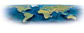
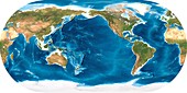
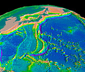
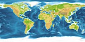
12646041 - World land and sea floor topography

11722181 - Mapping the ocean floor,illustration
12645808 - First World Ocean Floor Map, 1977, artwork

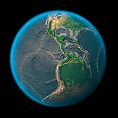
13436000 - Draining global oceans

12992111 - Land and seabed topography, Antarctica
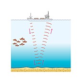
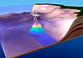
13377693 - Sonar, illustration
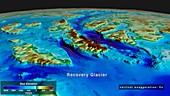
13243850 - Seabed topography beneath Recovery Glacier, Antarctica
13243849 - Seabed topography beneath Ninnis Glacier, Antarctica
12645809 - Ernst Haeckel's Map of Lemurian Human Origins
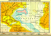
11728287 - Atlantic Ocean,19th Century map

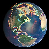
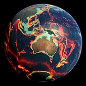
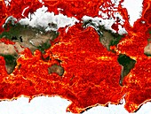
12052304 - World tectonic plates,global map
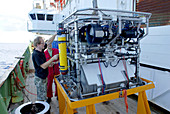
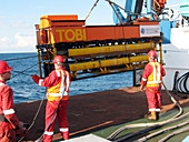
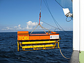
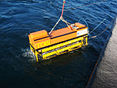
11713110 - Preparing robotic underwater vehicle
11724424 - Global ocean floor topography
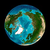
11723075 - Arctic and North American bathymetry
11728212 - Map of the Amundsen Sea continental shelf
12052310 - Global tectonics,mid-Atlantic Ridge
12052315 - Global tectonics,Indian Ocean

12052308 - Global tectonics,north-western Atlantic
12361538 - GLOBE world map showing Ice Age sea levels
12361536 - GLOBE world map with bathymetry

12303048 - Matthew Fontaine Maury, US oceanographer

12377006 - Matthew Fontaine Maury, US oceanographer
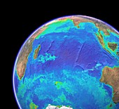
11723064 - Indian and Pacific ocean bathymetry
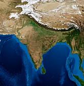
11729382 - India,topographic and bathymetric map
12052306 - Global tectonics,north-eastern Atlantic
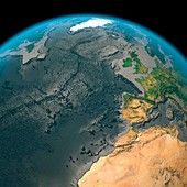
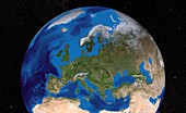
11672802 - Europe,topographic and bathymetric map

11728152 - Saunders Island volcano,bathymetry

12361537 - GLOBE world map with bathymetry and city lights
12052313 - Global tectonics,Arabia and Indian Ocean
12052307 - Global tectonics,north-eastern Atlantic
11713160 - Marine geologist studying seafloor map
12052318 - Global tectonics,eastern Pacific Plate

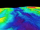
11731287 - Mid-Atlantic Ridge,2D bathymetric image
12052311 - Global tectonics,mid-Atlantic Ridge
12052305 - Global tectonics,Pacific Plate

11713161 - Marine geologist studying seafloor map
12052312 - Global tectonics,the Americas
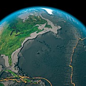
11648952 - North-western Atlantic,bathymetry model
11713159 - Seafloor mapping instrument
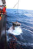
11713111 - Recovering robotic underwater vehicle
11695327 - US Navy Oceanographic Survey ship
12052314 - Global tectonics,Indian Ocean
12052309 - Global tectonics,north-western Atlantic
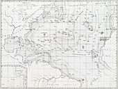
11653799 - Basin of the North Atlantic Ocean,1854

12052317 - Global tectonics,western Pacific Plate
11701152 - Global ocean surface currents simulation
12052316 - Global tectonics,Pacific Plate
11731286 - Mid-Atlantic Ridge,3D bathymetric image
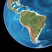
11646453 - South America,3D artwork

11651712 - Wreck of USS Susan B. Anthony

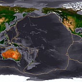
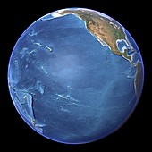
11735822 - Pacific Ocean
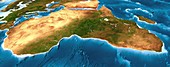
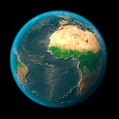
11646454 - Africa,3D artwork

11735045 - Earth & ocean floor
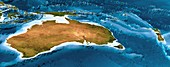
11646457 - Australia and New Zealand,3D artwork
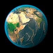
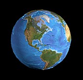
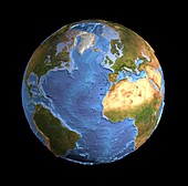
11602847 - Earth,topographic and bathymetric map

11735825 - Africa and Europe
11648940 - The Americas,sea floor topography
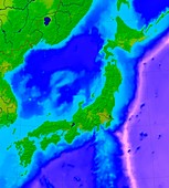
11641317 - Japan,bathymetric map
11648953 - North-western Atlantic,oceanography data
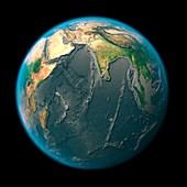
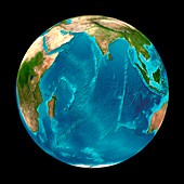
11648932 - Indian Ocean,satellite imaging data
11636539 - Mariana Trench,bathymetric map
11740212 - Arctic Ocean,seafloor map

11646456 - Asia,3D artwork

11562270 - Monterey bay,3-D image
11555549 - Earth,topographic and bathymetric map
11735215 - Earth
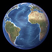
11648941 - Africa and Atlantic Ocean,with clouds
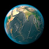
11648929 - Indian Ocean,sea floor topography
11740201 - Mariana trench sea floor topography
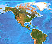
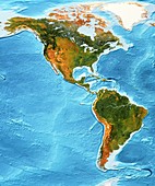
11735820 - North and South America
11656206 - Earth topography,artwork
11636540 - Mariana Trench,bathymetric map
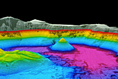
11740623 - Crater Lake
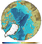
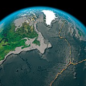
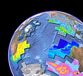
11740209 - Bathymetry and topography of the Arctic
11648939 - Atlantic Ocean,sea floor topography

11648937 - Indian Ocean,sea floor topography

11555534 - Europe,topographic map

11555513 - Antarctica,topographic map
11555506 - Atlantic Ocean,topographic map
11648935 - Indian Ocean,chlorophyll and bathymetry
11646452 - North America,3D artwork
11740216 - Western Pacific Ocean,seafloor map
11635318 - East Pacific Rise,topographic map
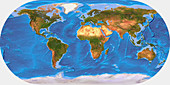
11575691 - World land and sea floor topography
11555540 - South America,topographic map
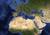
11587392 - Europe,satellite image

11555500 - Eurasia,topographic map
11713157 - Seafloor mapping instrument
11648933 - Indian Ocean,chlorophyll and bathymetry

11587388 - Eurasia,satellite image
11555510 - Pacific Ocean,topographic map
11740215 - Indian Ocean,seafloor map
11735824 - North and South America
11713158 - Seafloor mapping instrument
page suivante
Bathymétrie Photos ❘ Science Photo Library