Images
Vidéos
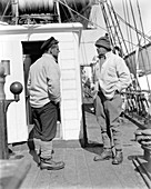
11696807 - Evans and Scott on Terra Nova,1910
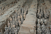
12059054 - Tomb of Terra-cotta warriors near Xian
12029802 - Robert Scott's Terra Nova Hut
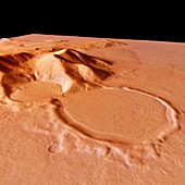
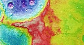
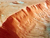
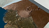
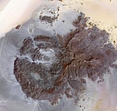
11565510 - Martian crater,Promethei Terra,Mars
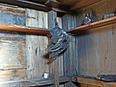
12029801 - Robert Scott's Terra Nova Hut
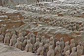
12015074 - Terra Cotta Warriors,China
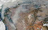
11613936 - Eastern Arabia Terra,Mars Express image
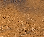
11565517 - Terra Cimmeria,Mars

11569085 - Terra Sirenum region,Mars

12059053 - Tomb of Terra-cotta warriors near Xian
11565523 - Xanthe Terra,Mars
11565522 - Xanthe Terra,Mars
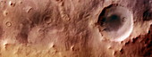
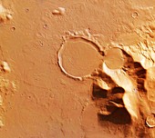
11882408 - Martian crater,Promethei Terra
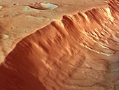
11565511 - Martian crater,Promethei Terra,Mars

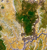
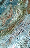
13524821 - Mineral geology around Piqiang Fault, China, satellite image

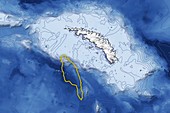
13524299 - Madagascar, satellite image
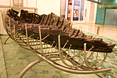
13613739 - Sea of Galilee boat
13378123 - Iceberg A68a approaching South Georgia

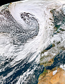
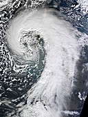
13387115 - Storm Christoph approaching UK, satellite image
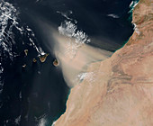
13297824 - Dust storm over the Canary Islands, satellite image
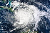
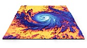
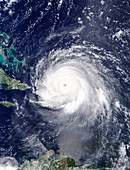
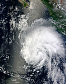
13524617 - Hurricane Matthew, satellite image
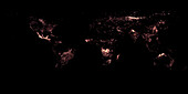
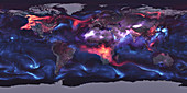
13470836 - Map of actively burning fires around the world, May 2021

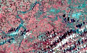
13445274 - Deforestation in Gran Chaco, Argentina, satellite image
12961546 - Lava flows in the Grand Canyon,infrared satellite image
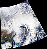
12960872 - Storm Brendan,January 2020
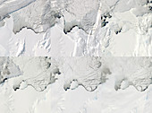
12959821 - Antarctic ice shelf calving sequence,September 2019
12919503 - Amazon fire detections using satellite data, August 2019
13297956 - Iceberg A68a approaching South Georgia, satellite image
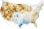
13435643 - Western USA drought, June 2021
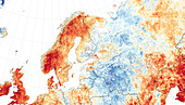
12961545 - 2018 European heatwave,temperature anomaly map

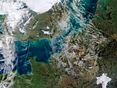
11692476 - Aral Sea,satellite image,2014

12961506 - Red tide algal bloom along the Florida coastline
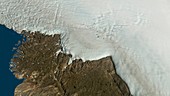
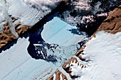
12959822 - Hiawatha glacier and crater in Greenland,satellite image
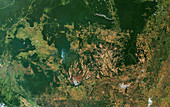
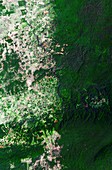
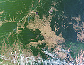
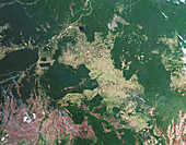
12919498 - Deforestation in the Amazon, June 2019
12446494 - US East coast bomb cyclone, 2018, satellite image

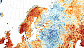
12916562 - European temperature anomalies, February 2019
12583201 - Scandinavian heat wave, July 2018, satellite image
12961740 - Global distribution of aerosols,satellite image
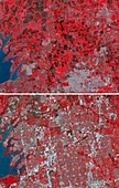
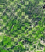
12991478 - Urban sprawl in Texas, USA, infrared satellite images
12582435 - Wildfires, California, USA, November 2018
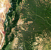
13445275 - Deforestation in Gran Chaco, Argentina, satellite image

12961547 - Lava flows in the Grand Canyon,infrared satellite image
12959823 - Hiawatha glacier and crater in Greenland,satellite image
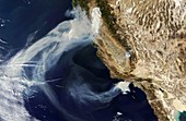
13355786 - US Pacific Coast wildfires, September 2020

12961062 - Storm Gloria,January 2020
12991479 - Centre-pivot irrigation in Saudi Arabia, satellite image
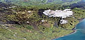
12655760 - Torfajokull caldera and Myrdalsjokull ice cap
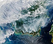
12949160 - Smoke from Indonesian fires, satellite image
12949155 - Deforestation in Central America, satellite image
12395502 - Hurricane Maria, thermal satellite image
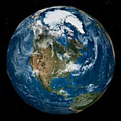
12393773 - Arctic and North America, satellite image
12632796 - Ice Shelf Disintegrating, Spring 2008

11728153 - Sea ice in the Weddell Sea
11701558 - Sochi Winter Olympics,satellite image
12581415 - Storm Leslie, October 2018
11730840 - Global warming record,December 2015

11730839 - Global warming record,December 2015
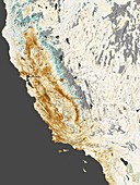
11701557 - 2014 California drought,satellite map

12378918 - Hurricane Harvey over Texas, USA, satellite image
12393774 - Antarctica and southern Africa, satellite image

11723992 - Global carbon monoxide levels,April 2004
11697672 - Kalgoorlie-Boulder,Australia
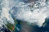
11727815 - Indonesian forest fires,2015
11698974 - Contrails over the English Channel
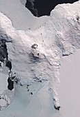
12420521 - Mount Erebus, Antarctica, satellite image
11695706 - Great Dyke volcanic intrusion
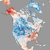
11697651 - North America temperatures,December 2013
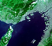
11698115 - Osaka Bay,Japan,satellite image
11697179 - Sulaiman folds,Pakistan,satellite image
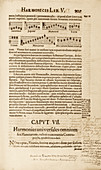
11734104 - Kepler on planetary harmony,1619
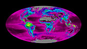
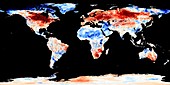
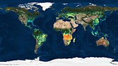
11696026 - Global productivity levels,satellite map
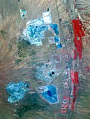
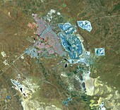
11694690 - Arizona copper mine,satellite image

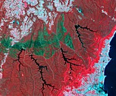
11683825 - Deforestation in the Amazon,2000
12395104 - Hurricane Irma, satellite image
11730838 - Global warming record,December 2015
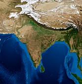
11729382 - India,topographic and bathymetric map
11699035 - Ice island from Petermann Glacier,2012
11683835 - Deforestation in the Amazon,2011
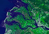
11695631 - Arkhangelsk,Russia,satellite image
11683832 - Deforestation in the Amazon,2006
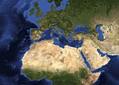
11672802 - Europe,topographic and bathymetric map
11686337 - Tropical storm Hernan,2014
11692950 - Jebel Uweinat mountains,satellite image
11697664 - Logging pattern,USA
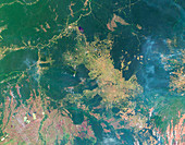
11683829 - Deforestation in the Amazon,2003
11675304 - Thames Valley flooding,2014

12631598 - Valentine's Day, Heart-Shaped Earth
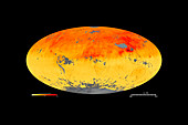
11723993 - Global carbon monoxide levels,April 2008
11701561 - Extratropical cyclone,UK,February 2014
11701136 - Australian wildfire scar,satellite image
11695623 - Afar,Ethiopia,satellite image
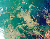
11683836 - Deforestation in the Amazon,2012

11683830 - Deforestation in the Amazon,2004
12257712 - Global burned areas, satellite map
11694269 - Karst landscape,satellite image
11683833 - Deforestation in the Amazon,2008

11674780 - Global fire map,August 2013
11673132 - Snow on the Sierra Nevada,USA,2014

11723994 - Global carbon monoxide levels,April 2013
page suivante
Terra Photos ❘ Science Photo Library