Images
Vidéos
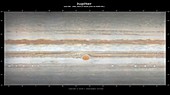
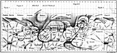
12290401 - Map of Jupiter, cylindrical projection
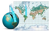
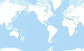
11621226 - Mercator map projection,diagram
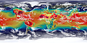
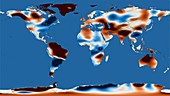
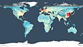
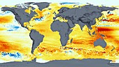
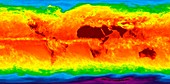
13673249 - Global temperatures
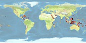
11727797 - Coral reefs under threat,2012

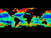
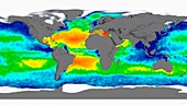
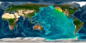
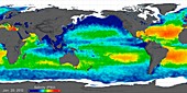
11696020 - Global chlorophyll levels,1997-2000
11727799 - Coral reefs under threat,2050

11714437 - Global precipitation,GEOS simulation
11714438 - Global dust levels,GEOS simulation

11714436 - Global temperatures,GEOS simulation
11696019 - Global chlorophyll levels,1979-1986
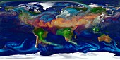
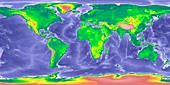
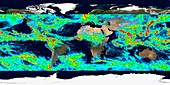
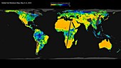
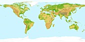
11696016 - Global biosphere,June 2002
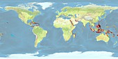
11727798 - Coral reefs under threat,2030

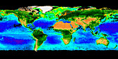
11696014 - Global chlorophyll levels,September 2014
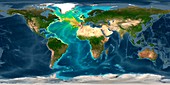
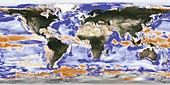
11696013 - Sea surface salinity,2012 global map
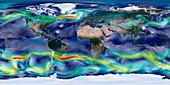
11696010 - Global winds,GEOS simulation
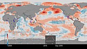
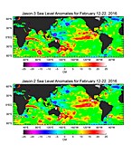
13672680 - Global sea level rise, 1992-2019
12949151 - Freshwater global changes, 2002 to 2017

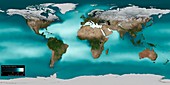
12646041 - World land and sea floor topography
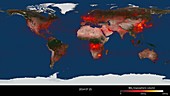
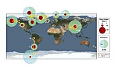
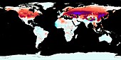
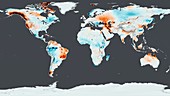
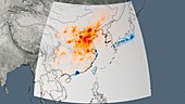
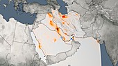
12991491 - Climate change and disease outbreaks, 2009-2018

12646044 - Tsunami from 2010 Chile earthquake, computer model
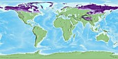
12492226 - Global permafrost layers, satellite map

12646046 - Tsunami from 2011 Japan earthquake, computer model

12991314 - Light pollution, global map

12646043 - Tsunami from 1700 Cascadia earthquake, computer model
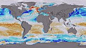
11729219 - Ocean surface CO2 and winds,global map
12646047 - Tsunami from 1755 Lisbon earthquake, computer model
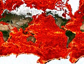
12949139 - Global fire hot spots from 1996 to 2010, satellite map
12646042 - Tsunami from 1964 Alaska earthquake, computer model
12394564 - Global nitrogen dioxide levels, July 2014
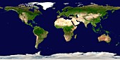
12492227 - World's land and oceans, satellite map
12257714 - Glacier loss rates 2003-2009, global map
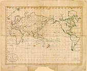
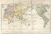
11730273 - World map,1785
11729226 - Global CO2 concentrations,May 2015
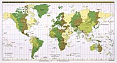
11730636 - World time zones,2011
11730634 - World map,1803 Turkish atlas
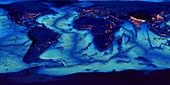
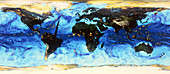
11724424 - Global ocean floor topography

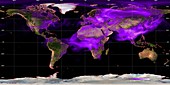
11727791 - Global transport networks on night map

12582898 - Global biosphere, October 1997
12361538 - GLOBE world map showing Ice Age sea levels
12361536 - GLOBE world map with bathymetry
12257728 - Global soil moisture, SMAP radar satellite map
11729230 - Global sea level rise,1992-2014
12257727 - Global soil moisture, SMAP radiometer satellite map
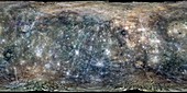
12334531 - Mercury, MESSENGER global mosaic
11729227 - One week accumulated global precipitation
11729221 - Drifting ocean garbage,global simulation

12361535 - GLOBE world map
11729224 - Snow darkening,increased solar radiation

12361537 - GLOBE world map with bathymetry and city lights
12257720 - Global nitrogen dioxide levels for 2014, satellite map
12257729 - Global soil moisture, SMAP satellite map
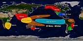
11727794 - El Nino winter effects,illustration
11729220 - Ocean surface CO2 and winds,global map
12257712 - Global burned areas, satellite map
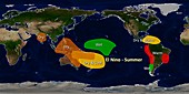
11727793 - El Nino summer effects,illustration

11658824 - Global ocean currents,diagram
11729228 - Ground water storage changes,April 2015
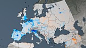
12257722 - European nitrogen dioxide trend 2005-2014, satellite map
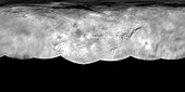
11718536 - Charon map,New Horizons image
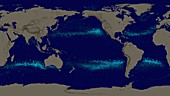
11701152 - Global ocean surface currents simulation
12257723 - East Asia nitrogen dioxide trend 2005-2014, satellite map
12098797 - Global map of sea surface height,2016
12257724 - Middle East nitrogen dioxide trend 2005-2014, satellite map
11729229 - Global sea level rise,1992-2014

11720164 - Global monitoring of air pollution
11649009 - Sea surface salinity,2012 global map
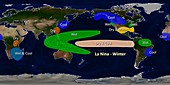
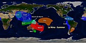
11727796 - La Nina winter effects,illustration
11905179 - Canals on Mars by Schiaparelli,1890

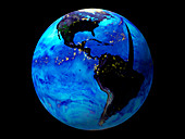
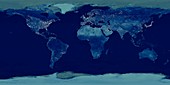
11735988 - Earth at night
11727795 - La Nina summer effects,illustration
11568897 - Sea surface density,2005 global map
11727792 - Global soot pollution levels,2007
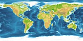
11575691 - World land and sea floor topography
11736372 - Atmospheric water vapour map
11727790 - Predicted fishery catch changes by 2050
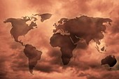
11600022 - Extended world map
11739637 - Earth's oceans,rivers and lakes
11735319 - Day and night on Earth,satellite image

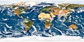
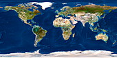
11575690 - World map,satellite image
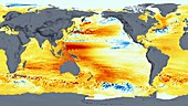
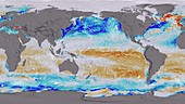
11736373 - Sea temperatures
11617494 - Global pollution,conceptual image

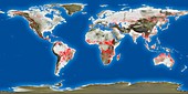
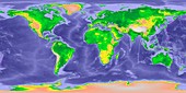
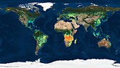
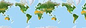
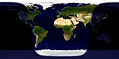
11600021 - World land cover,global map
11575684 - World at night,satellite image
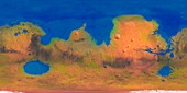
11889529 - Map of a terraformed Mars
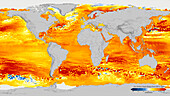
11568895 - Sea surface temperature,2005 global map
11575683 - World weather,satellite image
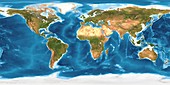
11575689 - World land cover and sea floor topography
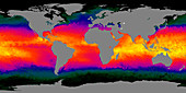
11739625 - Global sea temperatures,December 2001
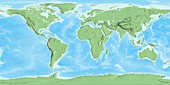
11575692 - World land topography
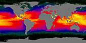
11739626 - Global sea temperatures,July 2001
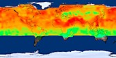
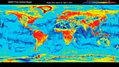
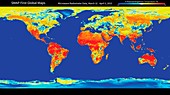
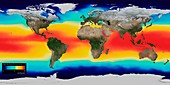
11565163 - Global temperatures,April 2003
11568896 - Sea surface salinity,2005 global map
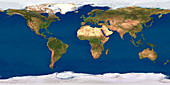
11735238 - Whole Earth map
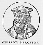
11576643 - Gerardus Mercator,Flemish cartographer
11550620 - Gall bladder surface,light micrograph
11735243 - Whole Earth map
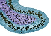
11874052 - Cervical canal,SEM
11735229 - Whole Earth map

11735214 - Earth
page suivante
Projection cylindrique Photos ❘ Science Photo Library