Images
Vidéos
12400366 - Navigation, illustration
12400396 - Navigation icons, illustration
12400367 - Navigation icons, illustration
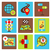
12400365 - Navigation icons, illustration
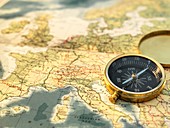
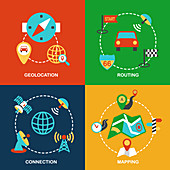
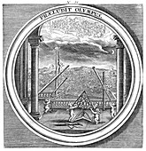
12328119 - Navigation
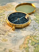
12328118 - Navigation
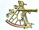
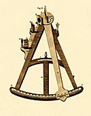
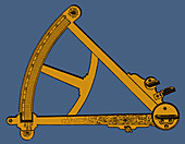
11879790 - Sextant used for navigation
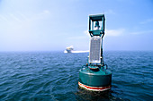
11898260 - Navigation buoy
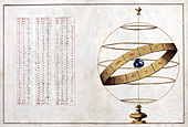
12648264 - Meteorologia, Celestial Navigation, 1709
12400868 - Navigation icons, illustration

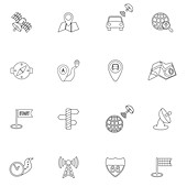
12400363 - Navigation icons, illustration
12400397 - Navigation icons, illustration

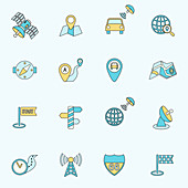
12400364 - Navigation icons, illustration
12328117 - Navigation
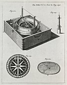
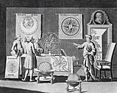
11904408 - Navigation encyclopaedia,1802
12445898 - Private jet tail fin and navigation lights
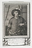
13672653 - Juan Sebastian de Elcano, Spanish navigator

12916125 - Louis Antoine de Bougainville, French mathematician
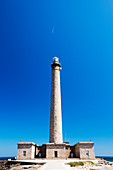
12969333 - Phare de Gatteville, Point De Barfleur, Normandy, France
12903820 - Comte de La Perouse, French astronomer and explorer

12903819 - Comte de La Perouse, French astronomer and explorer
12303161 - Ferdinand de Lesseps, French engineer
11830679 - Jean-Francois de Galaup La Perouse

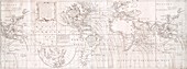
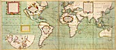
12651131 - Cantino World Map, 1502
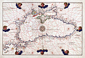
12651119 - Battista Agnese, Portolan Atlas, Black Sea, 1544
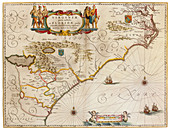
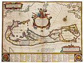
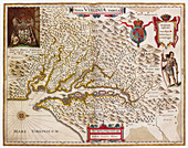
12651930 - Joan Blaeu, Virginia and Florida Coast Map, 17th Century
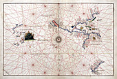
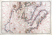
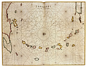
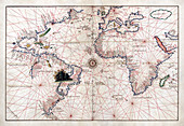
12651112 - Battista Agnese, Portolan Atlas, Pacific Ocean, 1544
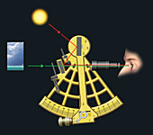
12971895 - Measuring the position of the Sun in the sky, illustration
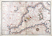
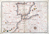
12651113 - Portolan Atlas, Western Mediterranean Sea, 1544
12651117 - Portolan Atlas, Central Mediterranean Sea, 1544
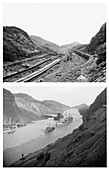
12650845 - Culebra Cut, Panama Canal, Before and After
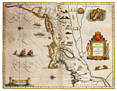
12651926 - Joan Blaeu, Nova Belgica and Nova Anglia Map, 17th Century
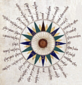
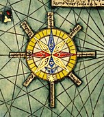
13496306 - Battista Agnese, Portolan Atlas, Compass Rose, 1544
12651115 - Battista Agnese, Portolan Atlas, Straits of Gibraltar, 1544
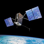
12655884 - GPS III global positioning satellite in orbit, illustration

12653039 - Christopher Columbus, Italian Explorer
12648244 - Meteorologia, North Star, 1709
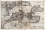
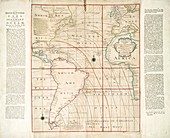
12959999 - Map of Europe,16th century
12490291 - Compass rose from Catalan Atlas, 14th century
12654351 - Amerigo Vespucci, Italian Explorer
12651927 - Joan Blaeu, Bermuda Map, 17th Century
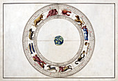
12651114 - Battista Agnese, Portolan Atlas, Zodiac, 1544
12651109 - Battista Agnese, Portolan Atlas, Coordinates, 1544
12650823 - Pedro Miguel Lock, Panama Canal, c. 1915
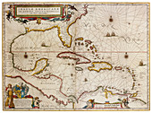
12651925 - Joan Blaeu, The Caribbean Map, 17th Century
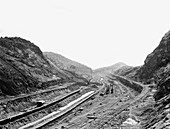
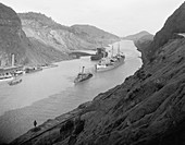
12650819 - Culebra Cut, Deepest Section of Panama Canal, c. 1905

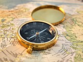
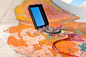
13428054 - Man holding a compass
12651110 - Battista Agnese, Portolan Atlas, Northern Europe, 1544
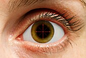
13506817 - Human eye and compass, conceptual composite image
12651929 - Joan Blaeu, Virginia Colony Map, 17th Century

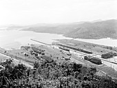
12650821 - Gatun Lock, Panama Canal, c. 1915
12651923 - Joan Blaeu, Caribbean Islands Map, 17th Century
12651118 - Battista Agnese, Portolan Atlas, Atlantic Ocean, 1544
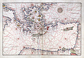
12651116 - Portolan Atlas, Eastern Mediterranean Sea, 1544
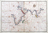
12651111 - Battista Agnese, Portolan Atlas, Indian Ocean, 1544
12450105 - Halley's global magnetic chart, 1744 edition
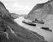
12650820 - Culebra Cut, Deepest Section of Panama Canal, 20th Century
12654326 - Sir Walter Raleigh's Virginia, 1585
12650822 - Culebra Cut, Deepest Section of Panama Canal, c. 1915
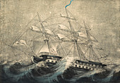
12647641 - Ship in Squall, 19th Century
13198258 - Abstract illustration
12362445 - Pacific coast from Mexico to Chile, 16th century

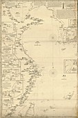
12362446 - Northern Red Sea, 1830s
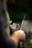
13507082 - Close-up of a man holding fishing pole and compass
12362440 - Eastern sea routes to China, 1839
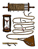
12631086 - Chip Log, Navigational Tool

12362436 - Global maritime map, 1560s
12630721 - Sextant, Navigational Instrument, 1791
11703527 - Magnetic chart of the Atlantic,1740s
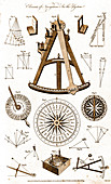
12630747 - Navigational Instruments, e.g. Sextant, 1791
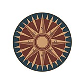
12631453 - Compass Rose, 1607
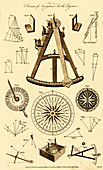
12630748 - Navigational Instruments, e.g. Sextant, 1791
11703528 - Halley's global magnetic chart,1700
13436651 - Man with fly fishing pole checking compass
12631243 - Sextant, Navigational Instrument
12362439 - Eastern coast of China, 1835
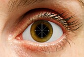
13506816 - Human eye and compass, conceptual composite image

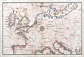
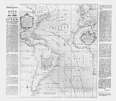
11946504 - Map of the Atlantic coasts,1660
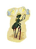
11643312 - Ant research,conceptual artwork
12631452 - Compass Rose, 1607
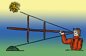
12631035 - Cross-staff, Navigational Instrument
12630796 - Man Using Navigational Instruments
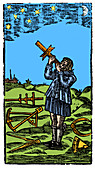
12631155 - Pole Star Sight with Cross-staff, 1545
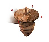
11689339 - Viking navigational 'compass',artwork
11614861 - 19th Century compass rose,artwork
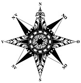
11614877 - Renaissance compass rose,artwork
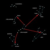
11884472 - Northern hemisphere constellations
11616003 - Mariner's compass,18th century
11604409 - Geological mapping
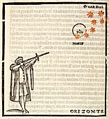
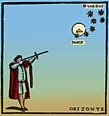
11655088 - Navigating by the stars,16th century

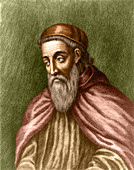
11652503 - Sebastian Cabot,Italian explorer
11735560 - Halley's magnetic Atlantic chart,1700
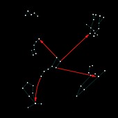
11884474 - Northern hemisphere constellations
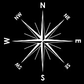
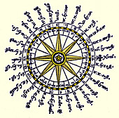
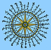
11614875 - Compass rose,artwork
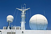
11617419 - Ship radar and radio domes
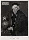
11615950 - Sebastian Cabot,Italian explorer
11595222 - Astronomical instruction
11904733 - Mariner's compass

11879830 - Navigational sextant
page suivante
De navigation Photos ❘ Science Photo Library