Images
Vidéos
13736751 - Earth's climate system, illustration

13736522 - Earth's climate system, illustration
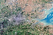
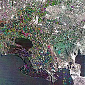
12950704 - Northern Serbia, satellite image
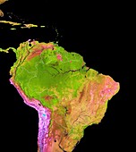
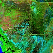
12949157 - Land cover in and around the Amazon, 2018
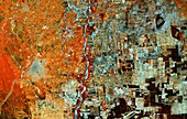
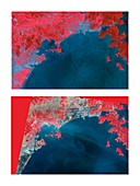
12950709 - Deforestation in Brazil, satellite radar image

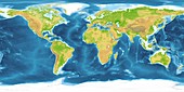
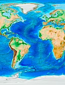
12646041 - World land and sea floor topography
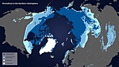
12991473 - Permafrost map for Earth's northern hemisphere
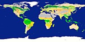
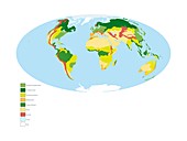
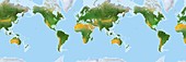
12553417 - Earth's biomes, illustration

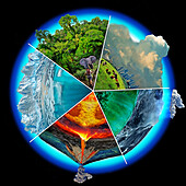
12991444 - Connected Earth systems, illustration
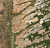
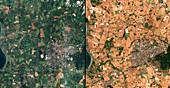
12950714 - Agriculture in Brazil, satellite image
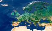
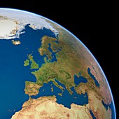
12554024 - Europe, Sentinel-3A satellite image
12948836 - World's forest types after deforestation, illustration
12950712 - Deforestation in Bolivia, satellite image
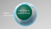
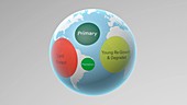
12948835 - Area of world's forests before agriculture
12949138 - 2018 European heat wave affecting farmland, satellite image
11697350 - Earth's deforestation,2000-2012
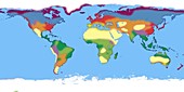
12553418 - Earth's biomes, illustration
11710359 - Austin,Texas,USA,satellite image
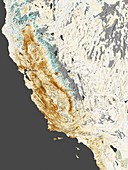
11701557 - 2014 California drought,satellite map
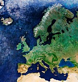
12554025 - Europe, Sentinel-3A satellite image
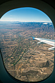
11959353 - Flight over Oaxaca,Mexico
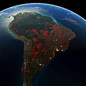
11697352 - South America deforestation,2000-2012
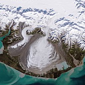
11731752 - Malaspina Glacier,Alaska,USA
11697353 - South-East Asia deforestation,2000-2012
11697351 - Earth's deforestation,2000-2012

11693245 - Greenland and Antarctic ice sheets
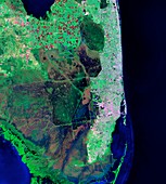
11690139 - Florida,infrared Landsat 5 image

11690138 - Florida,infrared Landsat 5 image
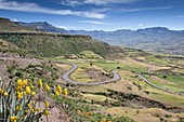
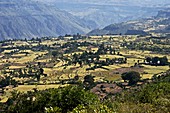
11710028 - Landscape near Lalibela,Ethiopia

11697348 - Earth's deforestation,2000-2012
11720165 - Lake Maggiore,infrared satellite image

11656586 - Bale Mountains marshland,Ethiopia
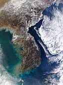
11649066 - Korean Peninsula,satellite image
11696016 - Global biosphere,June 2002
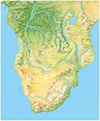
11658851 - Southern Africa,artwork
11697349 - Earth's deforestation,2000-2012
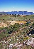
11656588 - Bale Mountains foothills,Ethiopia
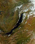
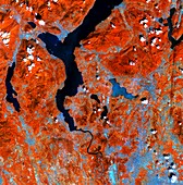
11649065 - Lake Baikal,satellite image

11690132 - Florida,Landsat 5 image
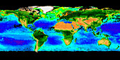
11696031 - Global chlorophyll levels,1998-2010
11656589 - Bale Mountains foothills,Ethiopia
11600095 - Effects of 2011 tsunami,Japan

11690130 - Iberian Peninsula,MODIS image
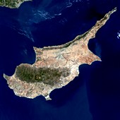
11649070 - Cyprus,satellite image
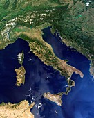
11649064 - Italy,satellite image
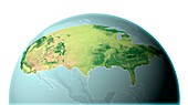
11638627 - Mainland USA,land cover map

11649069 - Isle of Man,satellite image
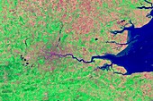
11649073 - London,infrared satellite image

11735311 - Antarctica,satellite image
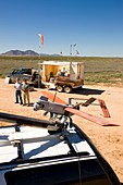
11679372 - Agricultural aerial drone survey
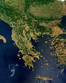
11649063 - Greece,satellite image

11628316 - North-western Europe,satellite image
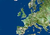
11555538 - Europe,satellite image
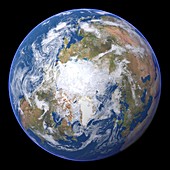
11735309 - The Arctic,satellite image
11648941 - Africa and Atlantic Ocean,with clouds
11563569 - The Arctic at equinox,satellite image

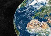
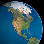
11555541 - North America,satellite image
11745818 - Kalahari Desert,Namibia
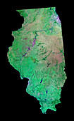
11736093 - Illinois,USA

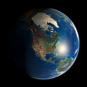
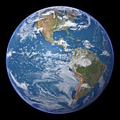
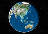
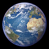
11735322 - Earth,artwork
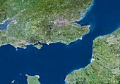
11628317 - English Channel,satellite image
11748898 - Milton Keynes region
11745576 - Florida Everglades,USA
11735321 - Earth and Moon,artwork
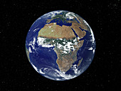
11735231 - Earth

11720166 - San Francisco Bay area,satellite image
11555449 - The Americas,satellite image
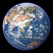
11555439 - East Asia,satellite image

11735323 - Earth,artwork
11735241 - Earth

11649072 - London,infrared satellite image
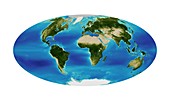
11589496 - Earth's land cover classification,2003
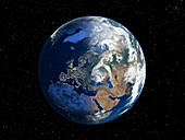
11563573 - Europe,satellite image
11563567 - The Arctic in winter,satellite image
11555397 - The Arctic,satellite image
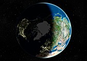
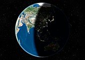
11736024 - Europe,night-day satellite image
11649071 - London,true-colour satellite image
11575691 - World land and sea floor topography
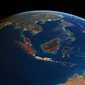
11563541 - Southeast Asia,satellite image
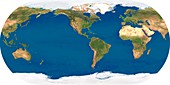
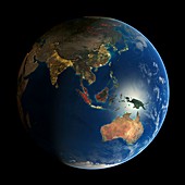
11555559 - Whole Earth,satellite image
11735304 - Africa,satellite image
11658825 - Earth's biomes,global map
11555425 - Atlantic Ocean,satellite image
11698884 - Camargue delta,France,satellite image
11656595 - Plateau farmland,Ethiopia
11563548 - Southeast Asia,satellite image

11744676 - Namaqualand mountains,South Africa
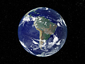
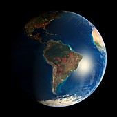
11735310 - South America,satellite image

11575452 - World population density in 2000
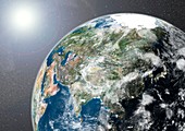
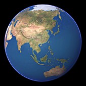
11563620 - Asia,satellite image
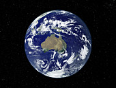
11555551 - Whole Earth,satellite image
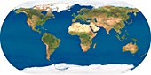
11600022 - Extended world map
11555453 - East Asia,satellite image
11749007 - Birmingham,England
11735306 - Australia,satellite image
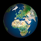
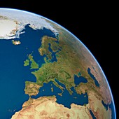
11628315 - Europe,satellite image
11622034 - Atlantic Ocean topography,ETOPO1 model
11555571 - North America,satellite image
11555566 - Europe,political map
page suivante
Couverture des terres Photos ❘ Science Photo Library