Images
Vidéos
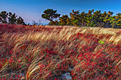
13633325 - Moosic Mountain heath barrens, Pennsylvania, USA
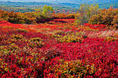
13633324 - Moosic Mountain heath barrens, Pennsylvania, USA
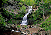
13633319 - Cathedral falls, West Virginia, USA
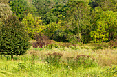
12651548 - Old Field Habitat
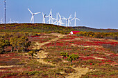
13633323 - Waymart Wind Energy Center, Pennsylvania, USA

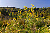
12650291 - Native Wildflower Meadow
12651549 - Tall Sunflower
12644730 - Delaware River

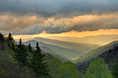
12644755 - Sunset from Morton Overlook

12646694 - Virgin's-Bower
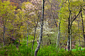
12646483 - Spring Forest

12650010 - Eastern Red Cedar

12644731 - Delaware River
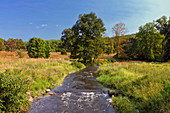
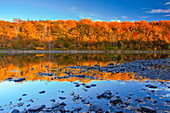
12651550 - Cherry Creek

12632892 - Cave Harvestman

12644739 - Buttermilk Falls

12644729 - Delaware River

12639440 - Kayaking on the Delaware River

12632894 - Slimy Salamander
12634157 - Metamorphic Rock, Blue Ridge

12632893 - Slimy Salamander
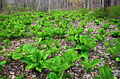
12634460 - Skunk Cabbage

11726607 - William Barton Rogers,American geologist

12632895 - Red Salamander
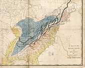
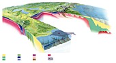
12362444 - Geological map of the eastern USA, 1809

11649057 - The Great Lakes,ISS image

11646458 - US Southern States,satellite artwork
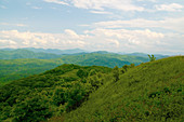
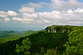
12047767 - Appalachian Mountains

12035399 - Country Doctor Gaine Cannon
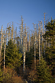
12032893 - Dead Fraser Firs

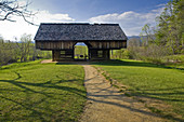
12040072 - Grist Mill,Appalachian Mountains

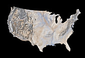
11638627 - Mainland USA,land cover map

11722379 - William Barton Rogers,US geologist

12035160 - Sunset

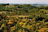
12038143 - Rural Appalachia

12049813 - Hiking the Appalachian Trail
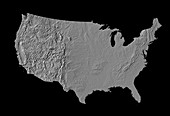
11735722 - Digital shaded-relief map of the continental USA

12035400 - Country Doctor Makes A House Call
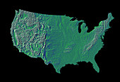
11735718 - Digital shaded-relief map of the continental USA
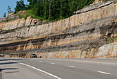
12049082 - Appalachian Highway Road Cut
12028814 - Norton,VA and Cumberland MT's
11735724 - Digital shaded-relief map of the continental USA
12028815 - Sunrise,Great Smoky Mountains

12049902 - Forest Path
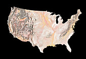
11735723 - Digital shaded-relief map of the continental USA
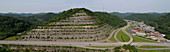
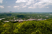
12038369 - Pikeville,Kentucky
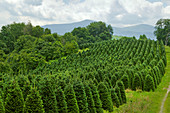
12038140 - Christmas Tree Farm
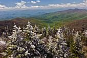
12028740 - Rime Ice on Trees

11744639 - Satellite view of Appalachian fold mountains

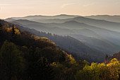
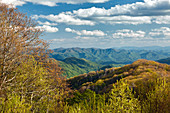
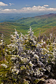
12047769 - Appalachian Panorama
12047768 - Cherokee National Forest
12040073 - Cantilever barn,Appalachian Mountains
12019089 - Kittatinny Ridge
11744613 - Landsat image of Appalachian mountains
11585606 - North American geology and oil slick
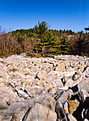
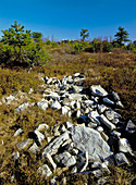
12019091 - Periglacial Boulder Field
12024283 - Cranberry Glades,West Virginia

12026775 - Rosebay Rhododendron
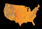
11735720 - Digital shaded-relief map of the continental USA
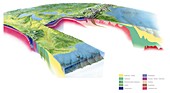
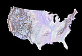
11585603 - North American geology,artwork

12026774 - Rosebay Rhododendron

12021793 - Dogwood Tree

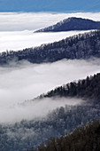
12056886 - Clouds on a mountaintop
12028811 - Oconaluftee Valley at Sunrise
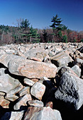
12019148 - Periglacial Boulder Field
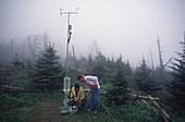
12013918 - Acid Rain Research
12058172 - Great Smoky Mountains National Park
12026779 - Rime Ice

11745097 - Infrared satellite image of Chesapeake Bay estuary
12019399 - Cumberland Mountains
12028742 - Deep Creek Valley
12028741 - Rime Ice on Trees

12012620 - Sunrise in the Blue Ridge Mountains
11735719 - Digital shaded-relief map of the continental USA
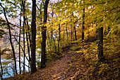
12019402 - Path Through Forest
12015165 - Mt. Le Conte,Tennessee

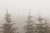
12056936 - Snowy forest
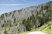
12020022 - Forest Damaged by Acid Rain
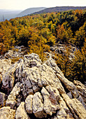
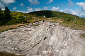
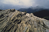
12019095 - Quartzite Outcrop,Appalachian Trail

12019090 - Quartzite Outcrop

12058447 - Appalachian scene

12007788 - Pitch Pine Forest
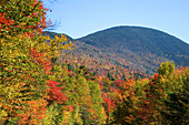
12008916 - Autumn,White Mountains,NH
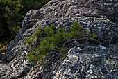
12007787 - Rocky Outcrop With Pine
12058171 - Great Smoky Mountains National Park
11735673 - Eastern USA

12076462 - Jordan's Salamander
Appalaches Photos ❘ Science Photo Library