Britain and Ireland
Numéro d’image : 11736234
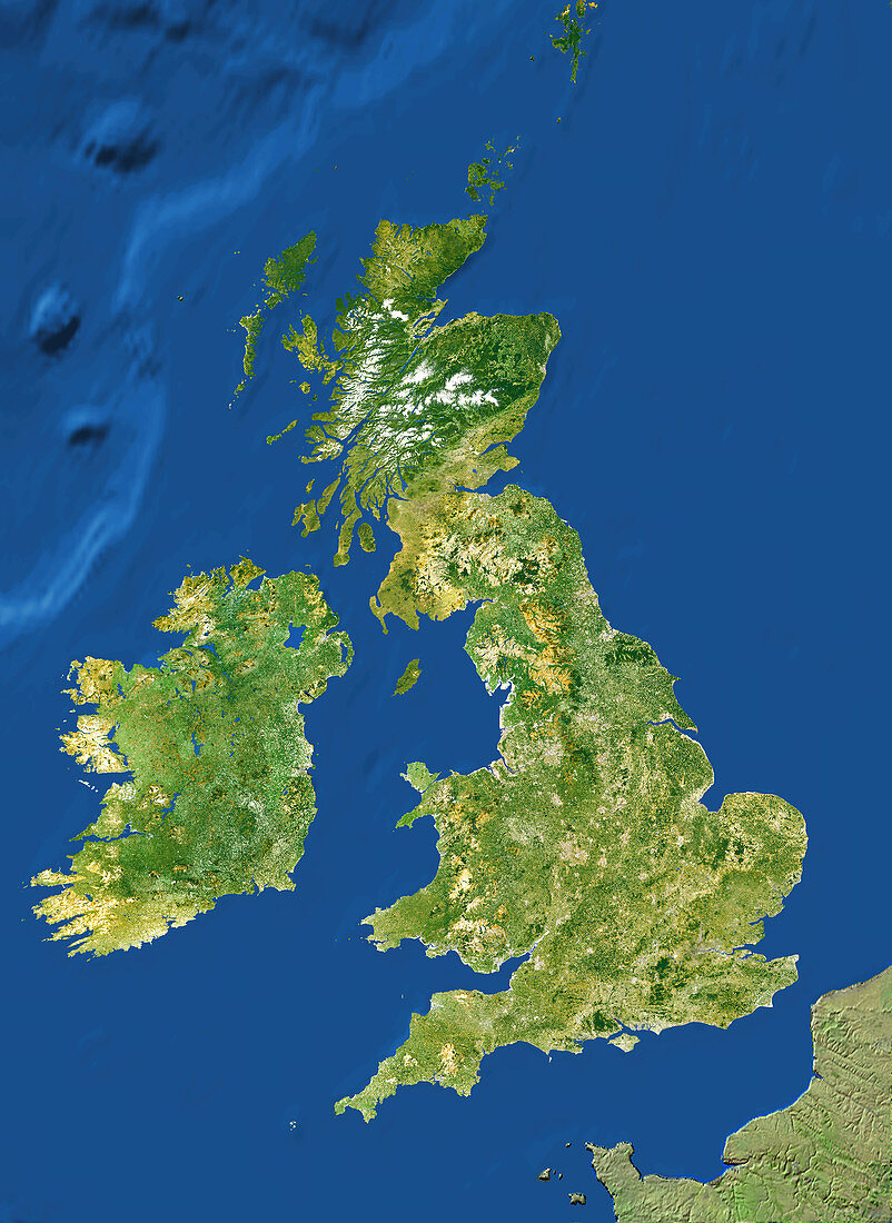
| Britain and Ireland. True-colour satellite image of the European countries of Great Britain and the Republic of Ireland (Eire). North is at top. Vegetation is green,mountains are yellow or white (with snow) and water is blue. The Irish Sea separates Ireland (left) from Great Britain. The North Sea is at upper right. These are relatively shallow seas of the European continental plate which shelves steeply (upper left) to the greater depths of the Atlantic Ocean. The English Channel and part of France are at bottom right | |
| Licence : | Droits gérés |
| Crédit: | Science Photo Library / Worldsat International |
| Taille de l’image : | 2918 px × 4000 px |
| Model Release : | Non requis |
| Property Release : | Non requis |
| Restrictions : |
|
Prix pour cette image À partir de 45 €
Produit vendu
(Calendrier, Carte postale, Carte de vœux, Impression sur textile, Packaging etc)
À partir de 45 €
Usage commercial
(Affichage, Annonce presse, Annonce TV, Carte, Digital - hors rés. sociaux, Digital - rés. sociaux etc)
À partir de 45 €
Éditorial
(Digital, Journal, Livre, Livre pratique, Magazine, Télévision etc)
À partir de 60 €
Usage non-commercial
(Digital - hors rés. sociaux, Digital - rés. sociaux etc)
À partir de 120 €
Mots clés
- Angleterre,
- de l'espace,
- du nord,
- eau,
- Ecosse,
- géographie,
- géographique,
- Grande Bretagne,
- Grande-Bretagne,
- Iles Britanniques,
- image satellite,
- imagerie satellitaire,
- imagerie satellite,
- irlandais,
- Irlande,
- Manche,
- mers,
- montagnes,
- nord,
- observation,
- océans,
- pays,
- Pays de Galles,
- republique d'Irlande,
- Royaume Uni,
- Royaume-Uni,
- science de la terre,
- sciences,
- spetentrional,
- terre,
- topographie,
- topographique,
- végétation