Images
Vidéos

13765269 - Yosemite National Park, California, USA, composite image

13736501 - Quantum abstract circuitry illustration.
13736465 - Quantum computer circuitry illustration.
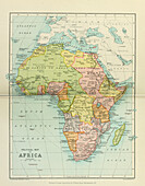
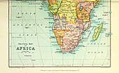
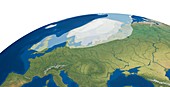
13613748 - Map of British South Africa
13736493 - Quantum computer circuitry illustration.
13736496 - Quantum computer circuitry illustration.
13754859 - Mauna Loa, Hawaii, satellite radar image
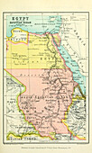
13613951 - Map of Egypt and the Egyptian Sudan
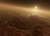
13444810 - Water on Mars, illustration
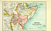
13613953 - Map of British East Africa
13613955 - 20th century political map of Africa
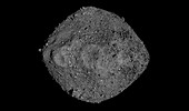
13406149 - 3D model of Bennu asteroid, composite image
13355504 - Danu Montes and Lakshmi Planum, Venus, radar image
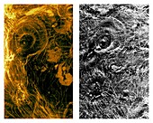
13355488 - Corona and pancake domes on Venus, radar image

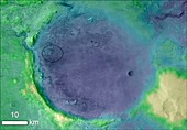
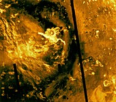
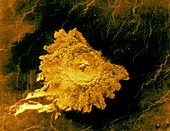
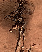
13297907 - Argyre impact basin, Mars, Viking 1 image

13736476 - Quantum computer circuitry illustration.
12991391 - Sentinel 6 Michael Freilich satellite
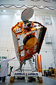
12991389 - Sentinel 6 Michael Freilich satellite
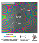
13754857 - Mauna Loa, Hawaii, radar interferogram
13403514 - Target landing area for Perseverance, composite image
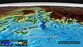
13243751 - Seabed topography, West Ragnhild Ice Stream, Antarctica
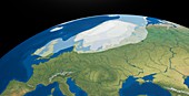
12987300 - European Upper Palaeolithic glaciation, illustration
13736467 - Quantum computer circuitry illustration.
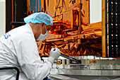
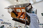
13673552 - Sentinel-6 Michael Freilich satellite undergoing testing
13355495 - Sedna Planitia highlands, Venus, radar image

13406151 - Landslides on Mars, satellite image
13355509 - Danilova Crater, Venus, radar image
13355503 - Volcanic pancake domes, Venus, radar image
13355489 - Sedna Planitia highlands, Venus, radar image
13355510 - Radar map of Venus, 1973
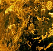
13355500 - Lava flows on Venus, radar image
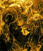
13355499 - Arachnoids, Venus , radar image
13613956 - 20th century political map of Africa

12991390 - Sentinel 6 Michael Freilich satellite, illustration
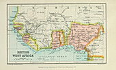
13613947 - Map of British West Africa
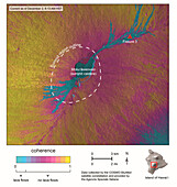
13613927 - Mapping of Tongan island Hunga Tonga Hunga Ha’apai
13404157 - Hazard map of Jezero Crater, Mars, Perseverance image
13355497 - Lavinia region, Venus, radar image

13258470 - Martian surface, illustration
13258446 - Valles Marineris, Mars, illustration
13355487 - Corona and pancake domes on Venus, radar image
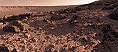
13258449 - Martian surface, illustration
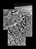
13297906 - Argyre impact basin, Mars, Viking 1 image

13258447 - Valles Marineris, Mars, illustration
12987301 - European Upper Palaeolithic glaciation, illustration
13736469 - Quantum computer circuitry illustration.
13736466 - Quantum computer circuitry illustration.
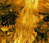
13355506 - Aphrodite Terra lava flows, Venus, radar image

12992110 - Seabed topography beneath Denman Glacier, Antarctica
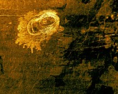
13355508 - Aurelia crater, Venus, radar image
13355505 - Adivar crater, Venus, radar image
12991395 - Sentinel 6 satellite, illustration
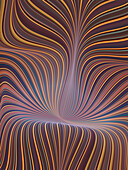
12646323 - Fractal contours illustration
13355501 - Jeanne crater, Venus, radar image

13243750 - Seabed topography beneath Byrd Glacier, Antarctica
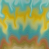
12646281 - Fractal contours illustration
13355494 - Alpha Regio, Venus, radar image
13297904 - Valles Marineris, Mars, Viking 1 image

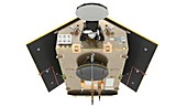
12991392 - Sentinel 6 satellite

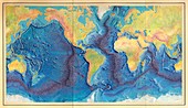
12646041 - World land and sea floor topography

11722181 - Mapping the ocean floor,illustration

13297905 - Valles Marineris, Mars, Viking 1 image
12645808 - First World Ocean Floor Map, 1977, artwork
13355498 - Lava flows on Venus, radar image
12987302 - European Upper Palaeolithic glaciation, illustration

12992111 - Land and seabed topography, Antarctica
13272411 - 3D map of Bennu asteroid, OSIRIS-REx image

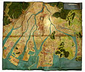
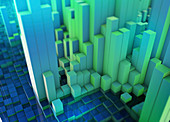
12941387 - City topography, conceptual illustration
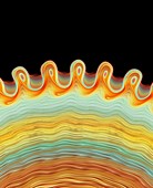
12646293 - Fractal image of concentric ripples
12642918 - Mars southern polar region, MOLA surface image
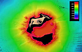
13474269 - Topographical map of Hiroshima, Japan
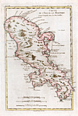
12900187 - Map of the Caribbean island of Martinique, c1783
12646314 - Fractal contours illustration
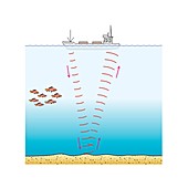
13377693 - Sonar, illustration
13355507 - Arachnoids, Venus, radar images
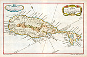
12900186 - Map of the Caribbean island of St Christopher, c1764

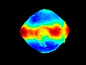
12540187 - Earth's geoid
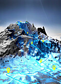
13620880 - Hiking trail through the mountains, illustration
13620878 - Hiking trail through the mountains, illustration
13355493 - Lava flows on Venus, radar image
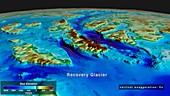
13243850 - Seabed topography beneath Recovery Glacier, Antarctica

12971723 - Topography of Mercury, MESSENGER image
13258448 - Valles Marineris, Mars, illustration
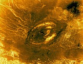
13355496 - Sachs Patera, Venus, radar image
13355492 - Devana Chasma, Venus, radar image
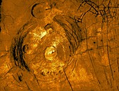
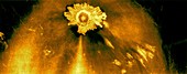
13355491 - Sacajawea Patera caldera, Venus, radar image
13355490 - Alpha Regio, Venus, radar image

13445377 - Water on Mars, illustration

13355502 - Fortuna region, Venus, radar image
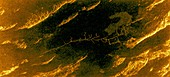
12961542 - Topographical map of Africa,satellite radar data
13474270 - Map of Nagasaki, Japan after the atomic bomb
13243849 - Seabed topography beneath Ninnis Glacier, Antarctica

12642917 - Mars southern polar region, MARSIS subsurface image
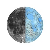
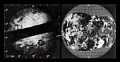
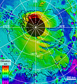
12539230 - Moon's surface and topography, LRO images
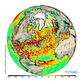
12325540 - Average sea surface topography, 2013
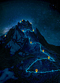
13405509 - Hiking trail and waypoints, illustration

13361604 - Hiking trail and waypoints, illustration
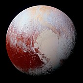
11731759 - Dwarf planet Pluto,New Horizons view
12941386 - City topography, conceptual illustration
page suivante
Topographique Photos ❘ Science Photo Library