Italy
Numéro d’image : 11736087
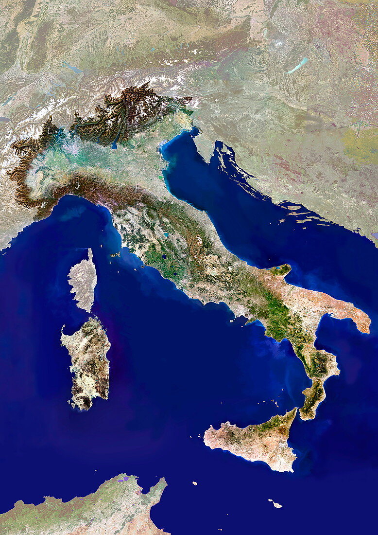
| Italy. Satellite image of the European country of Italy. The surrounding area has been shaded out. North is at top. Water is blue,vegetation is green,urban areas are grey,dry areas are brown,and shallow coastal waters are light blue. The area here is about 1000 by 1400 kilometres. The large Mediterranean coast is on the Adriatic Sea (right) and Tyrrhenian Sea (left). The island of Sicily is at lower right,the island of Sardinia is at lower left,with the smaller French island of Corsica above it. Part of Tunisia,in North Africa,is at bottom left. Rome,the capital city of Italy,is at centre. The large industrialised Po River valley (light green) is at upper left. For the unshaded version,see E075/086 | |
| Licence : | Droits gérés |
| Crédit: | Science Photo Library / Planetobserver |
| Taille de l’image : | 3508 px × 4961 px |
| Model Release : | Non requis |
| Property Release : | Non requis |
| Restrictions : | - |
Prix pour cette image À partir de 45 €
Produit vendu
(Calendrier, Carte postale, Carte de vœux, Impression sur textile, Packaging etc)
À partir de 45 €
Usage commercial
(Affichage, Annonce presse, Annonce TV, Carte, Digital - hors rés. sociaux, Digital - rés. sociaux etc)
À partir de 45 €
Éditorial
(Digital, Journal, Livre, Livre pratique, Magazine, Télévision etc)
À partir de 60 €
Usage non-commercial
(Digital - hors rés. sociaux, Digital - rés. sociaux etc)
À partir de 120 €
Mots clés
- Afrique du Nord,
- CORSICA,
- côte,
- de l'espace,
- eau,
- état,
- Europe,
- européen,
- frontière,
- frontières,
- géographie,
- géographique,
- île,
- îles,
- image satellite,
- Italie,
- Italien,
- littoral,
- méditérranéen,
- mer,
- mer adriatique,
- mer tyrrhénienne,
- nation,
- observation de la terre,
- océan,
- pays,
- Rome,
- Sardaigne,
- satellite,
- Sicile,
- terre,
- Tunisie,
- vallée