Images
Vidéos

12914248 - Illustration from De la Terre a la Lune by Jules Verne, 1865
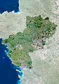
11736146 - Pays-de-la-Loire region,France

11746386 - Isla de la Juventud,satellite image
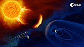
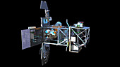
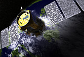
12540222 - Space weather observation satellites, artwork
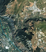
12540235 - La Mancha plateau, Spain, satellite image
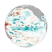
11595623 - La Nina,December 2010
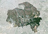
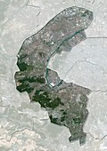
11639713 - Val-de-Marne,France,satellite image
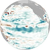
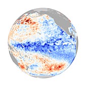
11739675 - La Nina,1999
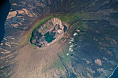
11740722 - La Cumbre volcano,Galapagos
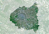
11639715 - Ile-de-France,France,satellite image
11639709 - Hauts-de-Seine,France,satellite image

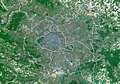
11736139 - Ile-de-France region,France
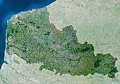
11736135 - Nord-Pas de Calais region,France
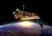
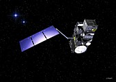
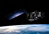
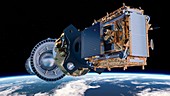
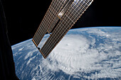
11626489 - Envisat,Earth observation satellite
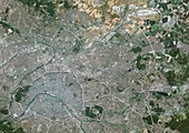
11639711 - Ile-de-France,France,satellite image
11639714 - Ile-de-France,France,satellite image
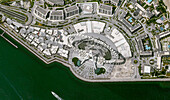
13755109 - Observation wheel, Dubai, UAE, satellite image
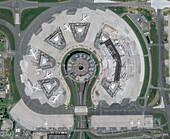
13672526 - Roissy Charles de Gaulle Airport, Paris, France
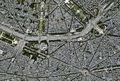
13756415 - Place de l'Etoile, Paris, France, satellite image
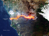
13474589 - Lava flowing into the sea on La Palma, satellite image
13475971 - Lava flow from volcano eruption on La Palma, satellite image
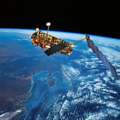
12582083 - Envisat Earth observation satellite, illustration
11728597 - Sierra Nevada de Santa Marta,ISS image
11641588 - Salar de Coipasa,Bolivia,ISS image
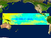
11692972 - La Nada climate pattern,satellite image
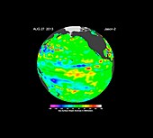
11604689 - La Nina,September 2010
11604690 - La Nina,September 2010
11878899 - Tour de France stage route
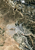
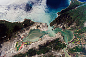
11749277 - La Paz,satellite image
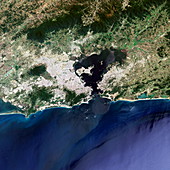
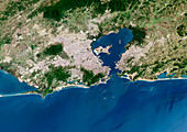
11748896 - Rio de Janeiro
11626471 - Sentinel-3,Earth observation satellite
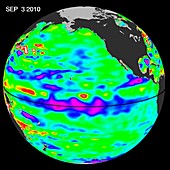
11595620 - La Nina,December 2010
11595619 - La Nina,December 2010
11614412 - Sentinel-3,Earth observation satellite
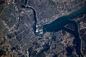
11749312 - Rio de Janeiro,satellite image
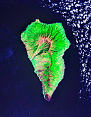
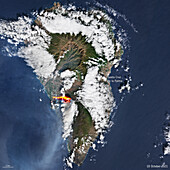
11746373 - La Palma island
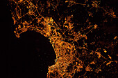
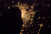
13505891 - Algiers, Algeria at night, satellite image
12540270 - Sentinel-2 satellite in orbit, artwork
12540261 - Sentinel-1B satellite deployment, artwork

11712454 - Dawn over North America,illustration
12540259 - Sentinel-1 satellite in orbit, artwork
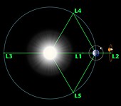
12540236 - Lagrange points, artwork

12540262 - Sentinel-2B satellite in Large Space Simulator
12540260 - Impact damage to Sentinel-1A satellite solar array
12050164 - Sentinel-1 satellite in orbit
12050161 - Sentinel-2 satellite interior

11598055 - TIROS weather satellite,artwork

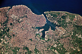
11748824 - Venice,Italy

11598067 - TIROS weather satellite,artwork
11748830 - Noumea,New Caledonia
11748828 - Havana,Cuba
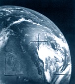
11598056 - TIROS weather satellite image
11889166 - CALIPSO satellite
11748826 - Seattle and Vancouver,North America
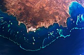
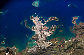
11746434 - Great Barrier Reef,Australia
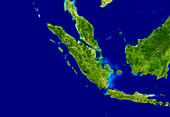
11736156 - Western Indonesia and Malaysia
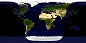
11735319 - Day and night on Earth,satellite image
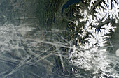
11897527 - Aircraft contrails,France
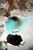
11745444 - Coastal desert lakes
11897528 - Aircraft contrails,Canada
11748825 - San Francisco Bay,USA
11745030 - Niagara Falls
11744900 - River Nile,Egypt
11748831 - Chicago,USA
11748827 - Athens,Greece
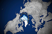
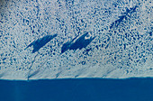
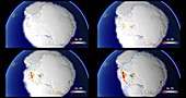
13295982 - Arctic ice minimum extent, 2020

13674555 - Arctic ice minimum extent, 2022
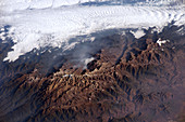
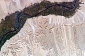
13672186 - Tibesti Mountains, ISS image
13950829 - Ice monitoring, conceptual illustration
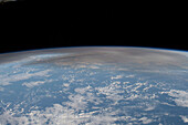
13672463 - Volcanic atmospheric plume, ISS image
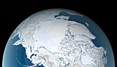
13601184 - Arctic sea ice maximum, February 2021
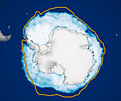
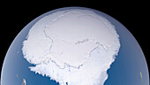
13951830 - Antarctic sea ice, August 2023
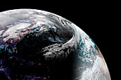
13673739 - Earth day and night, illustration
13742663 - Aurora borealis and australis
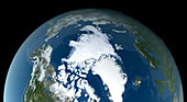
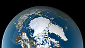
14077525 - Artic sea ice minimum September 2023, satellite image
13671997 - Greenhouses, Spain, composite ISS image
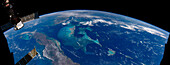
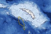
13671939 - The Bahamas, composite ISS image
13585876 - Storm Eunice approaching UK, satellite image
13756075 - Cyclone Freddy, ISS image
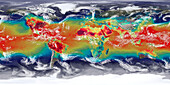
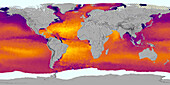
13673249 - Global temperatures
14077523 - Antarctic sea ice maximum September 2023, satellite image
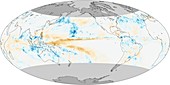
13672687 - Global sea surface salinity, 2011-2021
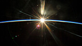
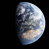
13672012 - Sunrise from space
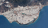
13671995 - El Ejido, Spain, composite ISS image
13378123 - Iceberg A68a approaching South Georgia

13444859 - British Columbia wildfire, June 2021

13417461 - Sunrise from space
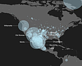
13417210 - Map of known meteorite landings in North and Central America

13297715 - Western Europe at night, satellite image
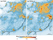
13243871 - Chinese nitrogen dioxide levels rebound after Covid-19
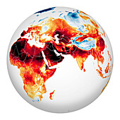
13647651 - Eastern hemisphere heatwave, July 2022
13601183 - Arctic ice minimum extent, 2021
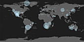
13417209 - Map of known meteorite landings

13387115 - Storm Christoph approaching UK, satellite image
13258393 - Antarctic land ice winter fluctuations, 1993-2017
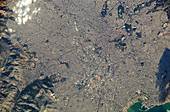
12991373 - Los Angeles, USA, in 2018, satellite image
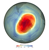
13674550 - Antarctic ozone hole maximum, 2022
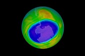
13367730 - Antarctic ozone hole maximum, 2020
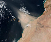
13297824 - Dust storm over the Canary Islands, satellite image
page suivante
Observation de la terre Photos ❘ Science Photo Library