Africa and Europe
Numéro d’image : 11735785
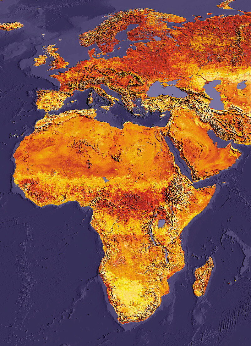
| Africa and Europe. Coloured satellite image of Africa and Europe. Water depth is indicated by shades of blue. The island of Madagascar is seen at lower right. The Mediterranean Sea (upper centre) separates Africa from Europe. To its east is seen the Arabian peninsula (centre right) and western Asia | |
| Licence : | Droits gérés |
| Crédit: | Science Photo Library / Dynamic Earth Imaging |
| Taille de l’image : | 2400 px × 3304 px |
| Model Release : | Non requis |
| Property Release : | Non requis |
| Restrictions : | - |
Prix pour cette image À partir de 45 €
Produit vendu
(Calendrier, Carte postale, Carte de vœux, Impression sur textile, Packaging etc)
À partir de 45 €
Usage commercial
(Affichage, Annonce presse, Annonce TV, Carte, Digital - hors rés. sociaux, Digital - rés. sociaux etc)
À partir de 45 €
Éditorial
(Digital, Journal, Livre, Livre pratique, Magazine, Télévision etc)
À partir de 60 €
Usage non-commercial
(Digital - hors rés. sociaux, Digital - rés. sociaux etc)
À partir de 120 €
Mots clés
- Afrique,
- Asie,
- carte,
- coloré,
- colorié,
- colorisé,
- continent,
- continents,
- de l'espace,
- eau,
- Eurasie,
- Europe,
- géographie,
- géographique,
- île,
- image satellite,
- images,
- indien,
- Madagascar,
- Mer Méditérrannée,
- Moyen Orient,
- Moyen-Orient,
- Océan Atlantique,
- péninsule arabe,
- péninsule arabique,
- photo,
- photos,
- science de la terre,
- sciences,
- terre,
- topographie,
- topographique