North America
Numéro d’image : 11735783
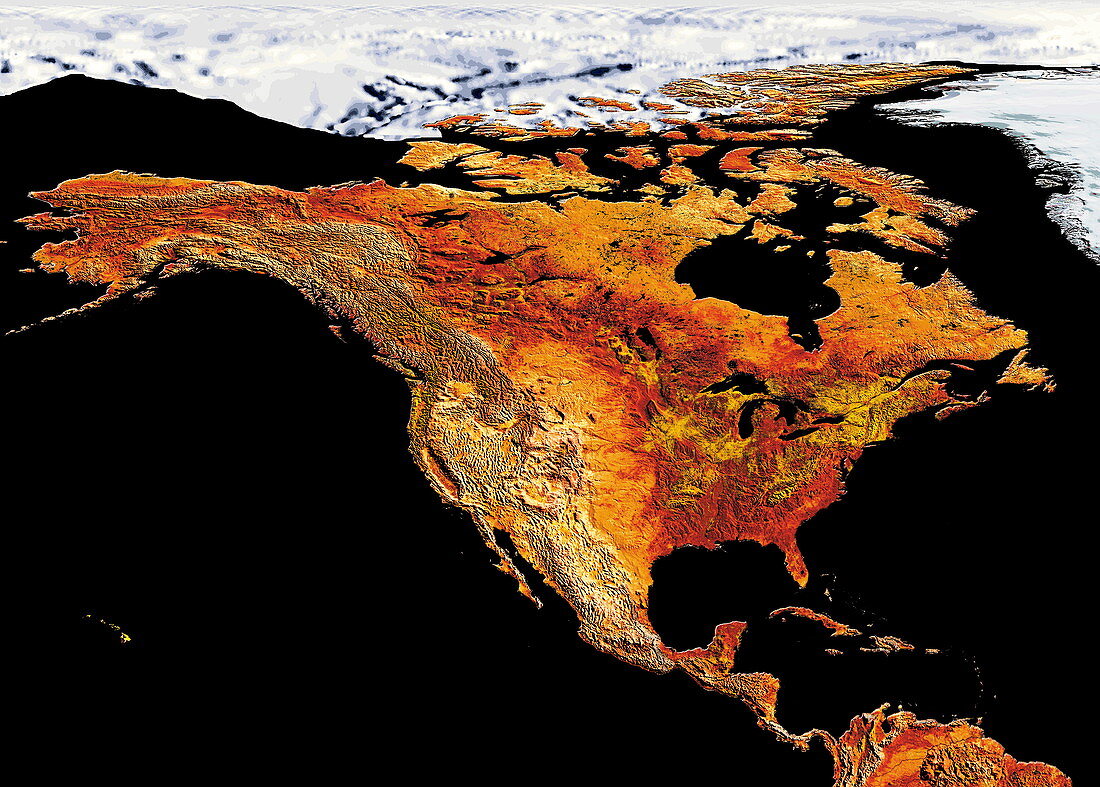
| North America. Coloured satellite image of North America. Snow and ice cover the Arctic region (white). The islands of the Caribbean Sea are seen at lower right. The northernmost region of South America is seen at bottom right | |
| Licence : | Droits gérés |
| Crédit: | Science Photo Library / Dynamic Earth Imaging |
| Taille de l’image : | 6063 px × 4337 px |
| Model Release : | Non requis |
| Property Release : | Non requis |
| Restrictions : | - |
Prix pour cette image À partir de 45 €
Produit vendu
(Calendrier, Carte postale, Carte de vœux, Impression sur textile, Packaging etc)
À partir de 45 €
Usage commercial
(Affichage, Annonce presse, Annonce TV, Carte, Digital - hors rés. sociaux, Digital - rés. sociaux etc)
À partir de 45 €
Éditorial
(Digital, Journal, Livre, Livre pratique, Magazine, Télévision etc)
À partir de 60 €
Usage non-commercial
(Digital - hors rés. sociaux, Digital - rés. sociaux etc)
À partir de 120 €
Mots clés
- Amérique du Nord,
- Arctique,
- Canada,
- caraïbes,
- carte,
- coloré,
- colorié,
- colorisé,
- continent,
- data,
- de l'espace,
- donnée,
- eau,
- Etats-Unis,
- géographie,
- géographique,
- glace,
- île,
- îles,
- image satellite,
- images,
- mer,
- N/A,
- neige,
- Océan Atlantique,
- pacifique,
- photo,
- photos,
- radiomètre avancé à tres haute résolution,
- RATHR,
- science de la terre,
- sciences,
- soulagement,
- terre,
- topographie,
- topographique,
- US,
- USA