North America
Numéro d’image : 11735746
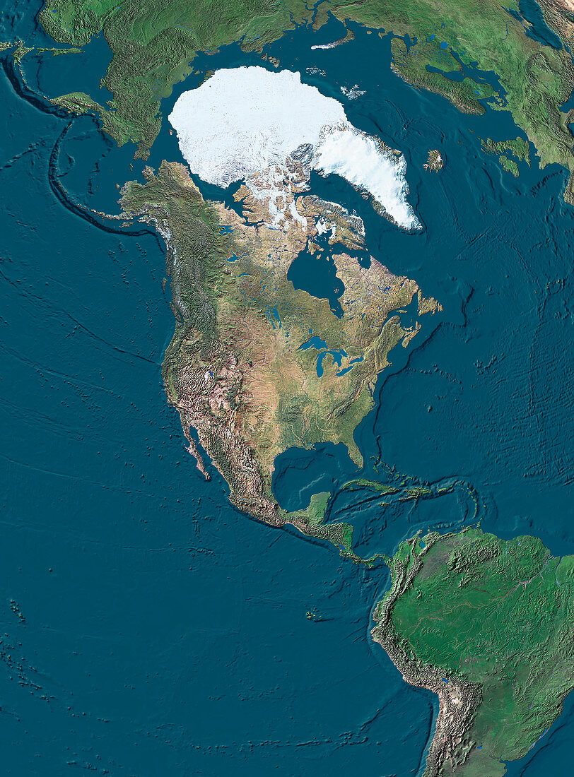
| North America. True-colour satellite image of North America and the surrounding regions. North is at top. Vegetation is green,arid areas are brown and water is blue. Ice and snow (white) cover the Arctic regions. Central America,with the Gulf of Mexico and the Caribbean Sea to its right,joins North America to South America (lower right). The Pacific Ocean is at left,the Atlantic Ocean is at right. The topography of the ocean floors is clearly shown. Northern Russia (upper left) and Europe (upper right) are also seen | |
| Licence : | Droits gérés |
| Crédit: | Science Photo Library / Worldsat International |
| Taille de l’image : | 2952 px × 4000 px |
| Model Release : | Non requis |
| Property Release : | Non requis |
| Restrictions : |
|
Prix pour cette image À partir de 45 €
Produit vendu
(Calendrier, Carte postale, Carte de vœux, Impression sur textile, Packaging etc)
À partir de 45 €
Usage commercial
(Affichage, Annonce presse, Annonce TV, Carte, Digital - hors rés. sociaux, Digital - rés. sociaux etc)
À partir de 45 €
Éditorial
(Digital, Journal, Livre, Livre pratique, Magazine, Télévision etc)
À partir de 60 €
Usage non-commercial
(Digital - hors rés. sociaux, Digital - rés. sociaux etc)
À partir de 120 €
Mots clés
- Amérique du Nord,
- Arctique,
- Asie,
- Atlantique,
- continents,
- de l'espace,
- déserts,
- eau,
- Eurasie,
- Europe,
- géographie,
- géographique,
- glace,
- Golfe du Mexique,
- image satellite,
- imagerie satellitaire,
- imagerie satellite,
- images,
- Mer des Caraïbes,
- mers,
- neige,
- observation,
- océans,
- pacifique,
- photo,
- photos,
- Pôle Nord,
- science de la terre,
- sciences,
- Sud,
- terre,
- topographie,
- topographique,
- végétation