Earth
Numéro d’image : 11735251
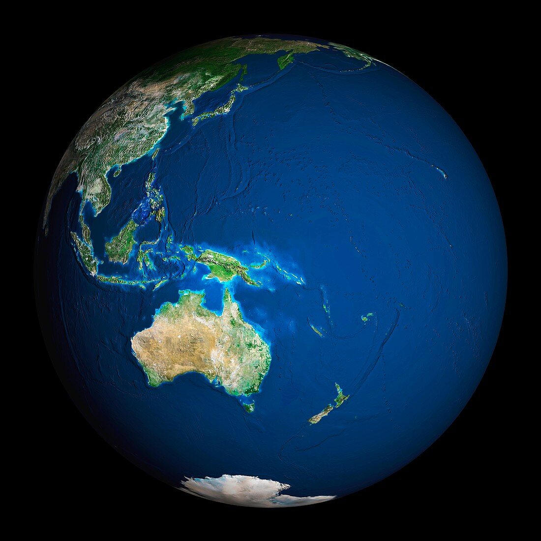
| Earth. Satellite image of the Earth,centred on the region of Oceania. North is at top. Water is blue,vegetation is green,arid areas are brown,and snow and ice are white. Both land and ocean floor topography are shown. Shallow coastal waters are light blue. Oceania consists of small islands scattered around the western Pacific Ocean. Australia (lower left),New Zealand (lower right),part of mainland Asia (top left),the Malay Archipelago (centre left) and Antarctica (bottom centre),are also seen. Deserts are seen in the Australian interior,and tropical forests along the Australian coast and in the islands of the Malay Archipelago | |
| Licence : | Droits gérés |
| Crédit: | Science Photo Library / Planetobserver |
| Taille de l’image : | 5433 px × 5433 px |
| Model Release : | Non requis |
| Property Release : | Non requis |
| Restrictions : | - |
Prix pour cette image À partir de 45 €
Produit vendu
(Calendrier, Carte postale, Carte de vœux, Impression sur textile, Packaging etc)
À partir de 45 €
Usage commercial
(Affichage, Annonce presse, Annonce TV, Carte, Digital - hors rés. sociaux, Digital - rés. sociaux etc)
À partir de 45 €
Éditorial
(Digital, Journal, Livre, Livre pratique, Magazine, Télévision etc)
À partir de 60 €
Usage non-commercial
(Digital - hors rés. sociaux, Digital - rés. sociaux etc)
À partir de 120 €
Mots clés
- archipel malais,
- Asie australe,
- australasien,
- Australie,
- australien,
- cercle,
- circulaire,
- continent,
- continental,
- de l'espace,
- déserts,
- eau,
- entier,
- forêts,
- géographie,
- géographique,
- global,
- globe,
- Hawaï,
- Hawai'i,
- Hawaii,
- hémisphère,
- image satellite,
- indien,
- Insulinde,
- mer,
- Nouvelle Zélande,
- Nouvelle-Zélande,
- observation de la terre,
- océan,
- oceania,
- Océanie,
- pacifique,
- planète,
- rond,
- satellite,
- sphère,
- sphérique,
- terre