British Isles,satellite image
Numéro d’image : 11599179
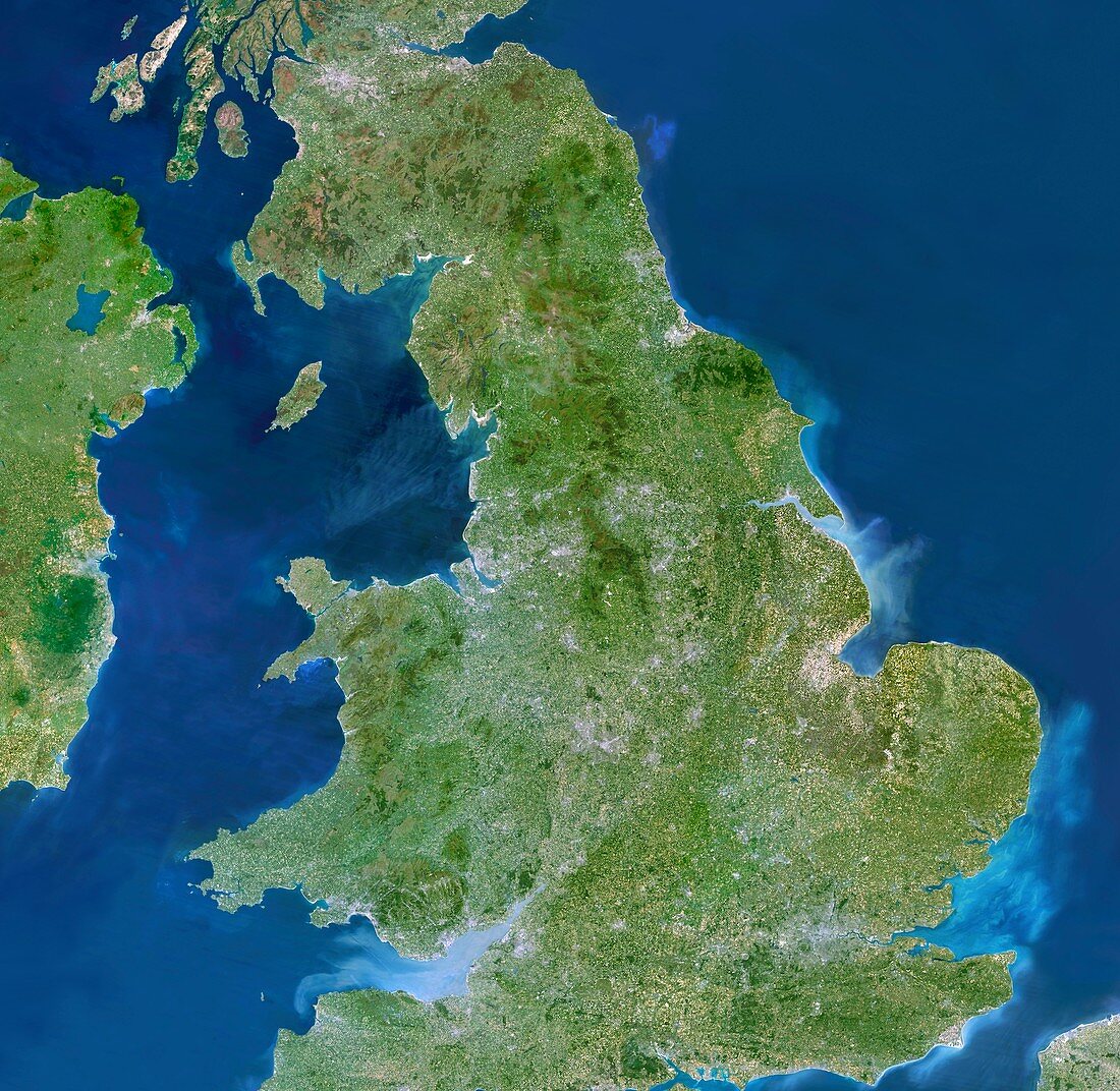
| British Isles,satellite image. North is at top. Most of the British mainland is shown here. Northern Ireland is at upper left,with parts of the Republic of Ireland and France also seen | |
| Licence : | Droits gérés |
| Crédit: | Science Photo Library / Planetobserver |
| Taille de l’image : | 6007 px × 5854 px |
| Model Release : | Non requis |
| Property Release : | Non requis |
| Restrictions : | - |
Prix pour cette image À partir de 45 €
Produit vendu
(Calendrier, Carte postale, Carte de vœux, Impression sur textile, Packaging etc)
À partir de 45 €
Usage commercial
(Affichage, Annonce presse, Annonce TV, Carte, Digital - hors rés. sociaux, Digital - rés. sociaux etc)
À partir de 45 €
Éditorial
(Digital, Journal, Livre, Livre pratique, Magazine, Télévision etc)
À partir de 60 €
Usage non-commercial
(Digital - hors rés. sociaux, Digital - rés. sociaux etc)
À partir de 120 €
Mots clés
- Angleterre,
- côte,
- côtes,
- côtier,
- de l'espace,
- écossais,
- Ecosse,
- état,
- Europe,
- européen,
- gallois,
- géographie,
- géographique,
- Grande-Bretagne,
- île,
- îles,
- Iles Britanniques,
- image satellite,
- irlandais,
- Irlande,
- Irlande du Nord,
- littoral,
- littoraux,
- mer,
- Mer d'Irlande,
- Mer du Nord,
- nation,
- observation de la terre,
- pays,
- Pays de Galles,
- Royaume Uni,
- Royaume-Uni,
- satellite,
- terre