Shetland Islands,satellite image
Numéro d’image : 11590966
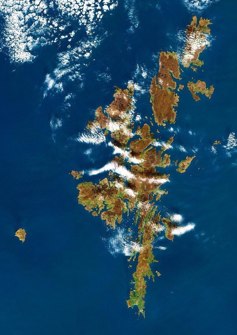
| Shetland Islands,satellite image. These islands form an archipelago off the north-eastern coast of Scotland. The islands lie between the Atlantic Ocean and the Norwegian Sea to the West and the North Sea to the East. The main island of the group is known as Mainland. Image obtained on 14 May 2000,by the Landsat 7 satellite | |
| Licence : | Droits gérés |
| Crédit: | Science Photo Library / Planetobserver |
| Taille de l’image : | 3520 px × 4978 px |
| Model Release : | Non requis |
| Property Release : | Non requis |
| Restrictions : | - |
Prix pour cette image À partir de 45 €
Produit vendu
(Calendrier, Carte postale, Carte de vœux, Impression sur textile, Packaging etc)
À partir de 45 €
Usage commercial
(Affichage, Annonce presse, Annonce TV, Carte, Digital - hors rés. sociaux, Digital - rés. sociaux etc)
À partir de 45 €
Éditorial
(Digital, Journal, Livre, Livre pratique, Magazine, Télévision etc)
À partir de 60 €
Usage non-commercial
(Digital - hors rés. sociaux, Digital - rés. sociaux etc)
À partir de 120 €
Mots clés
- 2000,
- 21ème siècle,
- archipel,
- britannique,
- continent,
- côte,
- de l'espace,
- eau,
- écossais,
- Ecosse,
- Europe,
- européen,
- géographie,
- géographique,
- Grande-Bretagne,
- île,
- îles,
- îles Shetland,
- image satellite,
- landsat 7,
- littoral,
- Mainland,
- mer,
- Mer du Nord,
- observation de la terre,
- océan,
- Océan Atlantique,
- Royaume Uni,
- Royaume-Uni,
- satellite,
- terre,
- XX1ème siècle