Ireland,satellite image
Numéro d’image : 11590599
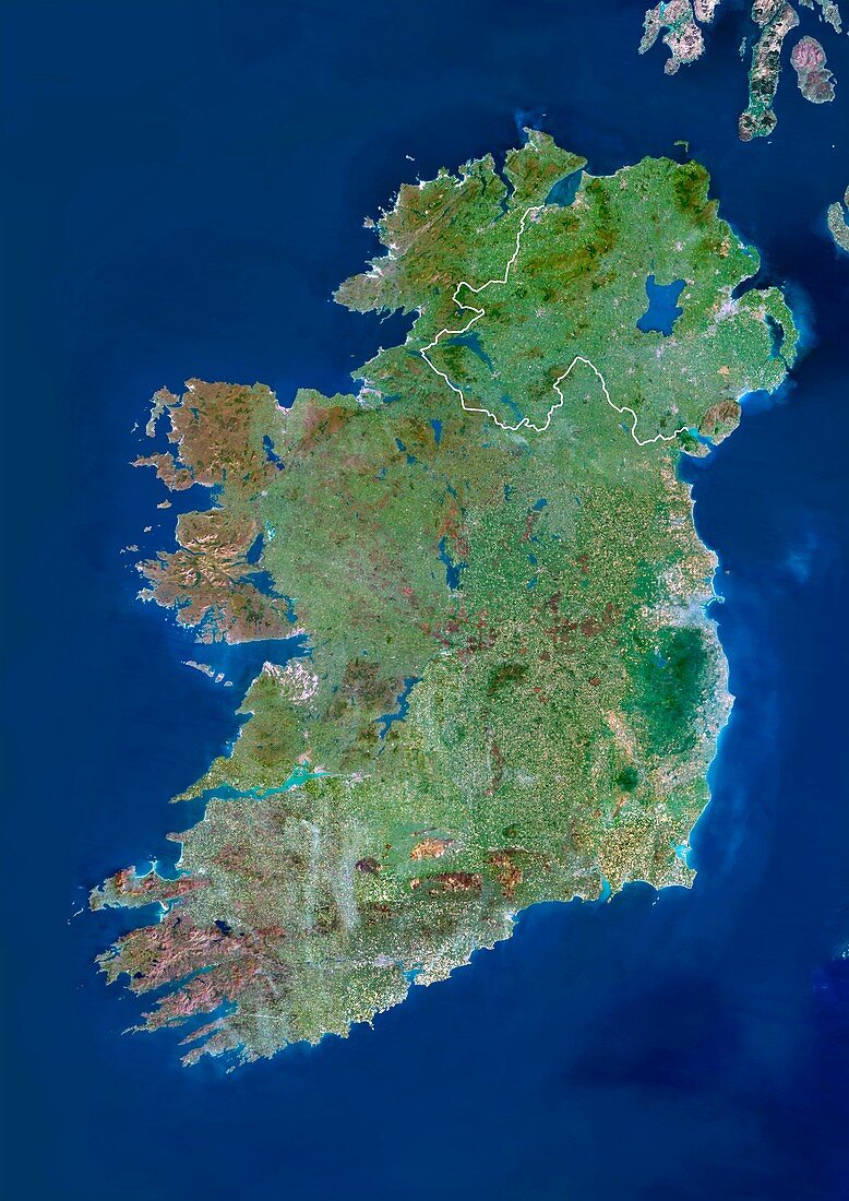
| Ireland,satellite image. North is at top. Ireland is divided into Northern Ireland (in the north-east) and the Republic of Ireland,the border is shown in white. To the right is the Irish Sea,which separates the island from Great Britain,and to the left is the Atlantic Ocean. Image taken by the Landsat 5 satellite | |
| Licence : | Droits gérés |
| Crédit: | Science Photo Library / Planetobserver |
| Taille de l’image : | 3514 px × 4969 px |
| Model Release : | Non requis |
| Property Release : | Non requis |
| Restrictions : | - |
Prix pour cette image À partir de 45 €
Produit vendu
(Calendrier, Carte postale, Carte de vœux, Impression sur textile, Packaging etc)
À partir de 45 €
Usage commercial
(Affichage, Annonce presse, Annonce TV, Carte, Digital - hors rés. sociaux, Digital - rés. sociaux etc)
À partir de 45 €
Éditorial
(Digital, Journal, Livre, Livre pratique, Magazine, Télévision etc)
À partir de 60 €
Usage non-commercial
(Digital - hors rés. sociaux, Digital - rés. sociaux etc)
À partir de 120 €