Brussels,Belgium,satellite image
Numéro d’image : 11566526
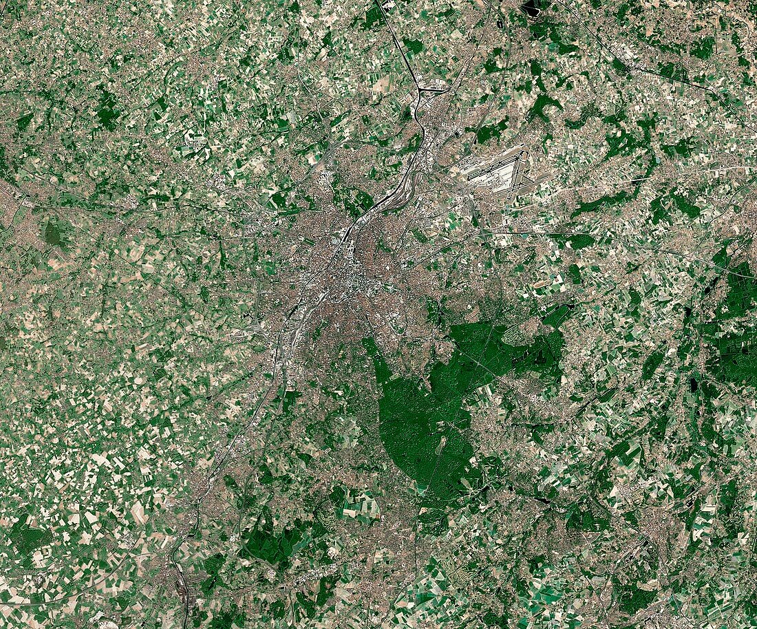
| Brussels,Belgium. Satellite image of Brussels,the capital city of Belgium. North is at top. Brussels is also the capital of the European Union and the largest urban area in Belgium. Forested areas are dark green,bare ground is brown,urban areas are grey,and water is black. Image created using NaturalVue data obtained from the Landsat 7 satellite | |
| Licence : | Droits gérés |
| Crédit: | Science Photo Library / MDA Information Systems |
| Taille de l’image : | 4599 px × 3821 px |
| Model Release : | Non requis |
| Property Release : | Non requis |
| Restrictions : | - |
Prix pour cette image À partir de 45 €
Produit vendu
(Calendrier, Carte postale, Carte de vœux, Impression sur textile, Packaging etc)
À partir de 45 €
Usage commercial
(Affichage, Annonce presse, Annonce TV, Carte, Digital - hors rés. sociaux, Digital - rés. sociaux etc)
À partir de 45 €
Éditorial
(Digital, Journal, Livre, Livre pratique, Magazine, Télévision etc)
À partir de 60 €
Usage non-commercial
(Digital - hors rés. sociaux, Digital - rés. sociaux etc)
À partir de 120 €