CRISTAL satellite, conceptual illustration
Numéro d’image : 13673315
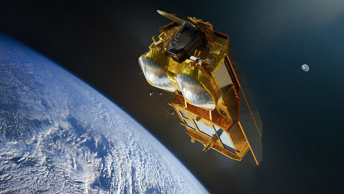
| Conceptual illustration of CRISTAL (Copernicus Polar Ice and Snow Topography Altimeter) satellites. This satellite, planned to launch in 2027, will carry a dual-frequency radar altimeter and microwave radiometer. This will allow CRISTAL to measure sea-ice thickness, overlying snow depth and ice-sheet elevations. | |
| Licence : | Droits gérés |
| Crédit: | Science Photo Library / AIRBUS DEFENCE AND SPACE |
| Taille de l’image : | 5760 px × 3240 px |
| Model Release : | Non requis |
| Property Release : | Non requis |
| Restrictions : | - |
Prix pour cette image À partir de 45 €
Produit vendu
(Calendrier, Carte postale, Carte de vœux, Impression sur textile, Packaging etc)
À partir de 45 €
Usage commercial
(Affichage, Annonce presse, Annonce TV, Carte, Digital - hors rés. sociaux, Digital - rés. sociaux etc)
À partir de 45 €
Éditorial
(Digital, Journal, Livre, Livre pratique, Magazine, Télévision etc)
À partir de 60 €
Usage non-commercial
(Digital - hors rés. sociaux, Digital - rés. sociaux etc)
À partir de 120 €