Map of Marquisate of Brandenburg, Germany, 17th century
Numéro d’image : 13503314
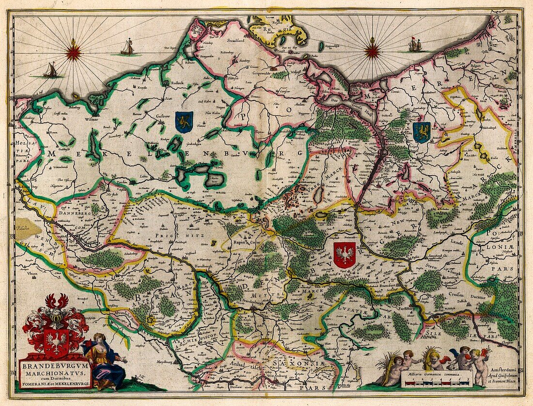
| 17th century illustrated map of Marquisate of Brandenburg, Germany from 'Le theatre du monde' or 'Novvel atlas' (Amsterdam, 1647) by Dutch map-makers Willem Janszoon Blaeu (1571-1638) and Joan Blaeu (1596-1673). The Marquisate of Brandenburg was a part of the Holy Roman Empire from 1157 to 1806. | |
| Licence : | Droits gérés |
| Crédit: | Science Photo Library |
| Taille de l’image : | 6376 px × 4854 px |
| Model Release : | Non requis |
| Property Release : | Non requis |
| Restrictions : | - |
Prix pour cette image À partir de 45 €
Produit vendu
(Calendrier, Carte postale, Carte de vœux, Impression sur textile, Packaging etc)
À partir de 45 €
Usage commercial
(Affichage, Annonce presse, Annonce TV, Carte, Digital - hors rés. sociaux, Digital - rés. sociaux etc)
À partir de 45 €
Éditorial
(Digital, Journal, Livre, Livre pratique, Magazine, Télévision etc)
À partir de 60 €
Usage non-commercial
(Digital - hors rés. sociaux, Digital - rés. sociaux etc)
À partir de 120 €