Global maritime map, 16th century
Numéro d’image : 13435434
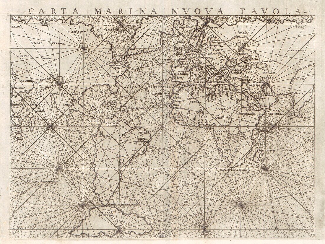
| 16th century global maritime map by Italian cartographer Giacomo Gastaldi (c.1500-1566) entitled 'Carta Marina Nuova Tavola'. The map shows the continents connected together, relying on the idea by mathematician Ptolemy (100-170 AD) of interconnected landmasses. Published in 1561. | |
| Licence : | Droits gérés |
| Crédit: | Science Photo Library / Library of Congress |
| Taille de l’image : | 3500 px × 2627 px |
| Model Release : | Non requis |
| Property Release : | Non requis |
| Restrictions : | - |
Prix pour cette image À partir de 45 €
Produit vendu
(Calendrier, Carte postale, Carte de vœux, Impression sur textile, Packaging etc)
À partir de 45 €
Usage commercial
(Affichage, Annonce presse, Annonce TV, Carte, Digital - hors rés. sociaux, Digital - rés. sociaux etc)
À partir de 45 €
Éditorial
(Digital, Journal, Livre, Livre pratique, Magazine, Télévision etc)
À partir de 60 €
Usage non-commercial
(Digital - hors rés. sociaux, Digital - rés. sociaux etc)
À partir de 120 €