Map of Switzerland, 1880s
Numéro d’image : 12920086
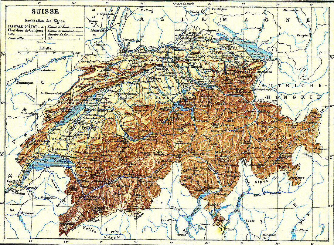
| Map of Switzerland, 1880s. 19th-century French map of the country of Switzerland. This map is from an atlas published in 1887 by the French publisher Jules Trousset. | |
| Licence : | Droits gérés |
| Crédit: | Science Photo Library / Collection Abecasis |
| Taille de l’image : | 3614 px × 2655 px |
| Model Release : | Non requis |
| Property Release : | Non requis |
| Restrictions : | - |
Prix pour cette image À partir de 45 €
Produit vendu
(Calendrier, Carte postale, Carte de vœux, Impression sur textile, Packaging etc)
À partir de 45 €
Usage commercial
(Affichage, Annonce presse, Annonce TV, Carte, Digital - hors rés. sociaux, Digital - rés. sociaux etc)
À partir de 45 €
Éditorial
(Digital, Journal, Livre, Livre pratique, Magazine, Télévision etc)
À partir de 60 €
Usage non-commercial
(Digital - hors rés. sociaux, Digital - rés. sociaux etc)
À partir de 120 €