Map of City of London, Westminster and Southwark, 1827
Numéro d’image : 12902174
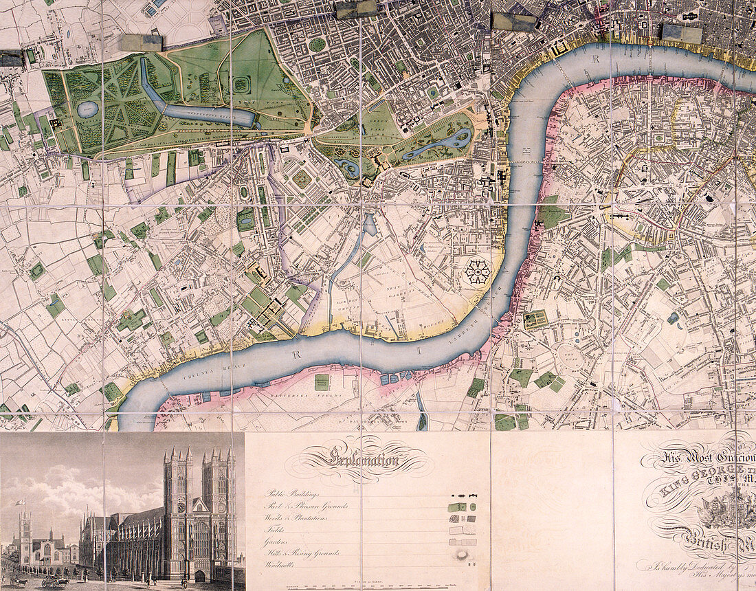
| Map of the City of London, Westminster, Southwark and surrounding areas, 1827; showing the River Thames from Chelsea Reach to Blackwall Reach, with a strip within the border at the foot of the map containing a view of Westminster Abbey. Artist: James Neele. | |
| Licence : | Droits gérés |
| Crédit: | Science Photo Library / Heritage Images / London Metropolitan Archives-City of London |
| Taille de l’image : | 4728 px × 3695 px |
| Model Release : | Non requis |
| Property Release : | Non requis |
| Restrictions : | - |
Prix pour cette image À partir de 45 €
Produit vendu
(Calendrier, Carte postale, Carte de vœux, Impression sur textile, Packaging etc)
À partir de 45 €
Usage commercial
(Affichage, Annonce presse, Annonce TV, Carte, Digital - hors rés. sociaux, Digital - rés. sociaux etc)
À partir de 45 €
Éditorial
(Digital, Journal, Livre, Livre pratique, Magazine, Télévision etc)
À partir de 60 €
Usage non-commercial
(Digital - hors rés. sociaux, Digital - rés. sociaux etc)
À partir de 120 €
Mots clés
- 1800,
- 19ème siècle,
- abbaye,
- Abbaye de Westminster,
- Abbaye Westminster,
- anglais,
- Angleterre,
- années 1800,
- c,
- caractéristique géographique,
- carte,
- Cité de Wesminster,
- géographie,
- géographique,
- histoire,
- historique,
- illustration,
- J,
- James,
- JOSIAH,
- la Tamise,
- londres,
- oeuvre,
- religieux,
- religion,
- rivière,
- siècle,
- Southwark,
- Tamise,
- ville de Londres,
- Westminster,
- XIXème siècle