Map of London, 1797
Numéro d’image : 12902148
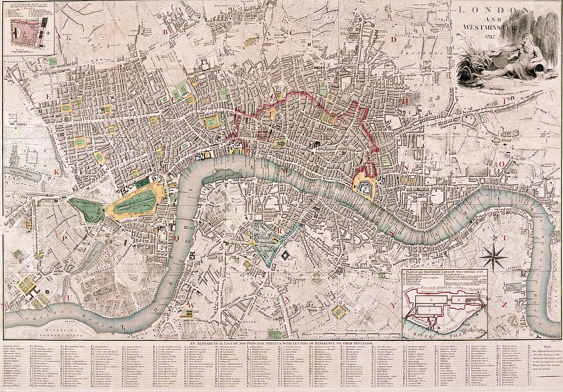
| Map of London, 1797. Map of the City of London, City of Westminster, River Thames, Lambeth, Southwark and surrounding areas, 1797. The city walls are shown in red. An allegorical figure of the River Thames is vignetted in the top right, with a key below. Artist: Edward Mogg. | |
| Licence : | Droits gérés |
| Crédit: | Science Photo Library / Heritage Images / London Metropolitan Archives-City of London |
| Taille de l’image : | 5008 px × 3489 px |
| Model Release : | Non requis |
| Property Release : | Non requis |
| Restrictions : | - |
Prix pour cette image À partir de 45 €
Produit vendu
(Calendrier, Carte postale, Carte de vœux, Impression sur textile, Packaging etc)
À partir de 45 €
Usage commercial
(Affichage, Annonce presse, Annonce TV, Carte, Digital - hors rés. sociaux, Digital - rés. sociaux etc)
À partir de 45 €
Éditorial
(Digital, Journal, Livre, Livre pratique, Magazine, Télévision etc)
À partir de 60 €
Usage non-commercial
(Digital - hors rés. sociaux, Digital - rés. sociaux etc)
À partir de 120 €
Mots clés
- 1700,
- 18ème siècle,
- anglais,
- Angleterre,
- bleu,
- caractéristique géographique,
- carte,
- cité fortifiée,
- Edward,
- géographie,
- géographique,
- graver,
- gravure,
- histoire,
- historique,
- illustration,
- la Tamise,
- londres,
- mur,
- murs de la ville,
- murs de ville,
- oeuvre,
- rivière,
- siècle,
- Tamise,
- ville,
- ville fortifiée,
- XVIIIème siècle