Cold War satellite calibration marker, USA
Numéro d’image : 12447690
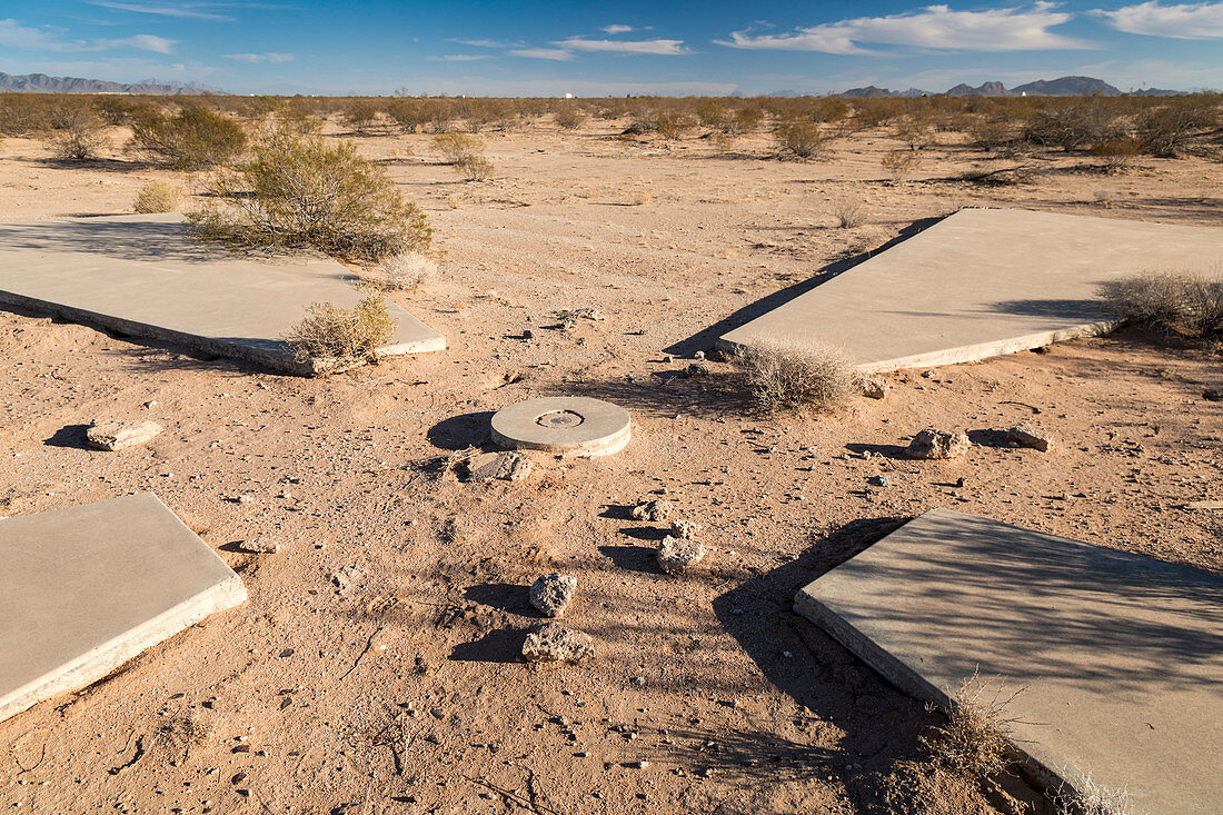
| Cold War satellite calibration marker. One of 256 now-abandoned satellite calibration markers placed in the Arizona desert by the US Air Force and the CIA (Central Intelligence Agency) during the Cold War (1947-1991). The concrete markers seen here helped calibrate spy satellites that were used to take pictures over Russia and China from 1959 to 1972. Photographed in Casa Grande, Arizona, USA. | |
| Licence : | Droits gérés |
| Crédit: | Science Photo Library / West, Jim |
| Taille de l’image : | 6529 px × 4352 px |
| Model Release : | Non requis |
| Property Release : | Non requis |
| Restrictions : | - |
Prix pour cette image À partir de 45 €
Produit vendu
(Calendrier, Carte postale, Carte de vœux, Impression sur textile, Packaging etc)
À partir de 45 €
Usage commercial
(Affichage, Annonce presse, Annonce TV, Carte, Digital - hors rés. sociaux, Digital - rés. sociaux etc)
À partir de 45 €
Éditorial
(Digital, Journal, Livre, Livre pratique, Magazine, Télévision etc)
À partir de 60 €
Usage non-commercial
(Digital - hors rés. sociaux, Digital - rés. sociaux etc)
À partir de 120 €
Mots clés
- 1900,
- 20ème siècle,
- abandonné,
- américain,
- Amérique du Nord,
- appareil,
- aride,
- aridité,
- Arizona,
- armée de l'air américaine,
- aucun,
- CASA GRANDE,
- CIA,
- désaffecté,
- désert,
- dispositif,
- équipement,
- Etats-Unis,
- froid,
- guerre,
- histoire,
- historique,
- ingénierie aérospatiale,
- marqueurs,
- matériel,
- N/A,
- nord américain,
- nord-américain,
- paysage,
- personne,
- sec,
- système,
- technologie,
- technologique,
- US,
- USA,
- XXème siècle