19th Century circumpolar map, illustration
Numéro d’image : 12419849
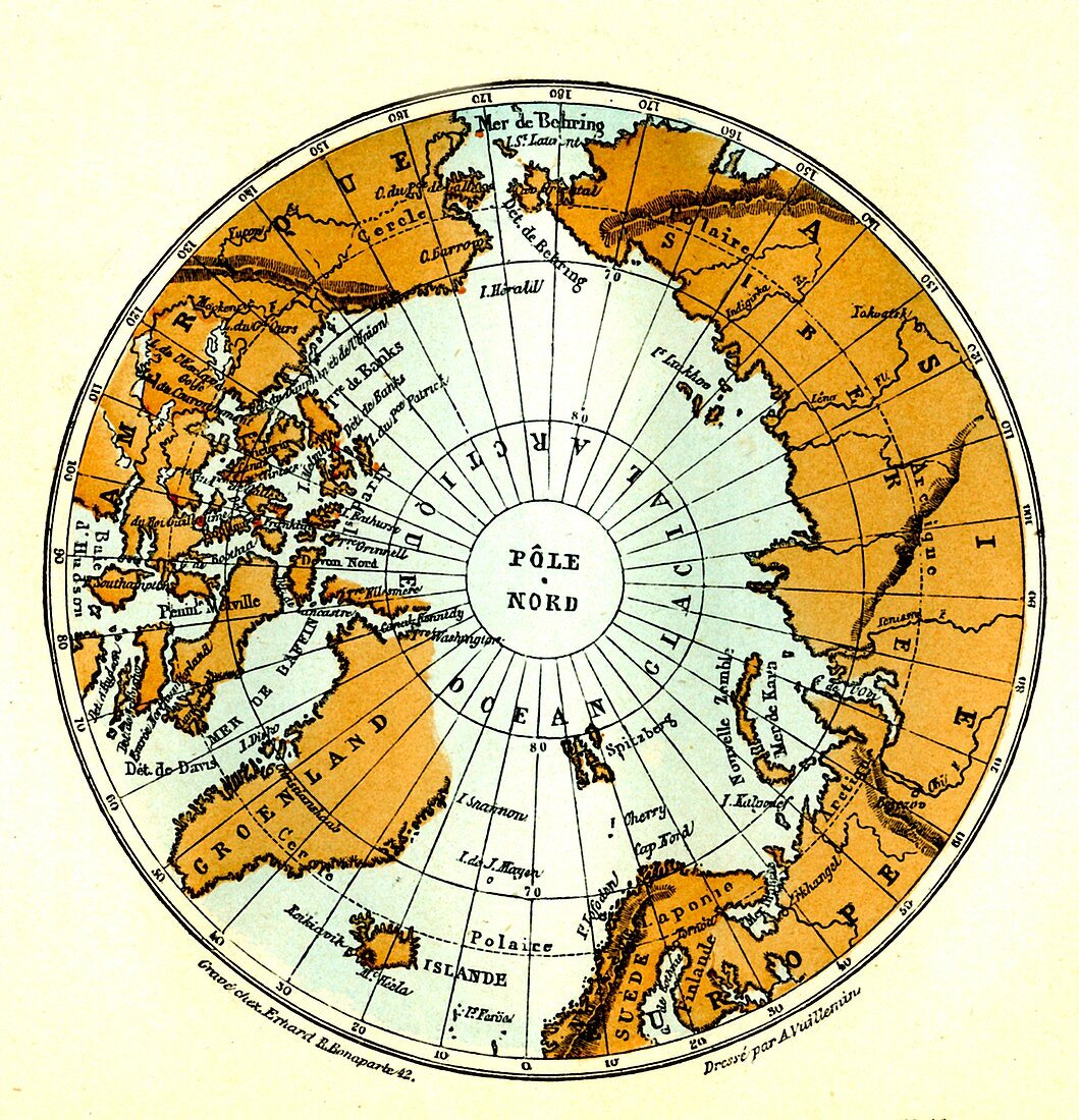
| 19th Century circumpolar map. 1886 map centred on the North Pole, showing the countries that surround it and the Arctic ocean. | |
| Licence : | Droits gérés |
| Crédit: | Science Photo Library / Collection Abecasis |
| Taille de l’image : | 3177 px × 3301 px |
| Model Release : | Non requis |
| Property Release : | Non requis |
| Restrictions : | - |
Prix pour cette image À partir de 45 €
Produit vendu
(Calendrier, Carte postale, Carte de vœux, Impression sur textile, Packaging etc)
À partir de 45 €
Usage commercial
(Affichage, Annonce presse, Annonce TV, Carte, Digital - hors rés. sociaux, Digital - rés. sociaux etc)
À partir de 45 €
Éditorial
(Digital, Journal, Livre, Livre pratique, Magazine, Télévision etc)
À partir de 60 €
Usage non-commercial
(Digital - hors rés. sociaux, Digital - rés. sociaux etc)
À partir de 120 €
Mots clés
- 1800,
- 1886,
- 19ème siècle,
- années 1800,
- baisser les yeux,
- carte,
- cartographie,
- cercle Artique,
- circumpolaire,
- coupé,
- coupe-circuit,
- d'en haut,
- découpé,
- découpes,
- détourages,
- détouré,
- disjoncteur,
- du haut,
- géographie,
- géographique,
- globe,
- histoire,
- histoire de la science,
- historique,
- illustration,
- monde,
- océan Artique,
- oeuvre,
- pays,
- plongeant,
- polaire,
- Pôle Nord,
- regarder vers le bas,
- rond,
- silhouette,
- XIXème siècle