Mapping water mains
Numéro d’image : 11900480
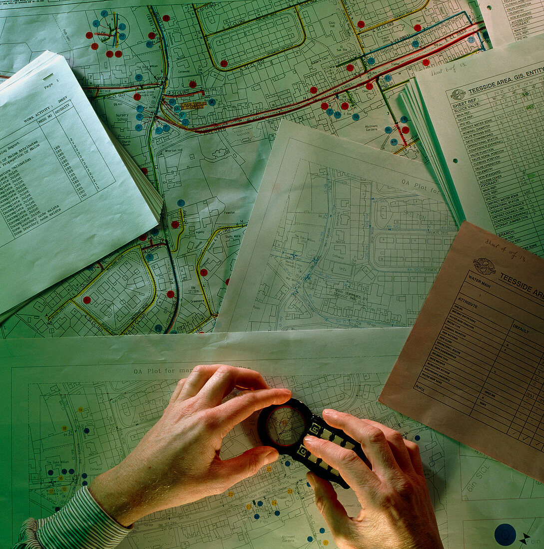
| Water mains mapping. Hands using a device to send the coordinates of water mains on a street map to a Geographic Information System (GIS). A GIS is a computer system on which geographical data can be inputted,stored,manipulated and displayed. This aids the water company's management of the water system,as well as improving the efficiency with which improvements and repairs may be carried out | |
| Licence : | Droits gérés |
| Crédit: | Science Photo Library / Cuthbert, Colin |
| Taille de l’image : | 3506 px × 3543 px |
| Model Release : | Non requis |
| Property Release : | Non requis |
| Restrictions : | - |
Prix pour cette image À partir de 45 €
Produit vendu
(Calendrier, Carte postale, Carte de vœux, Impression sur textile, Packaging etc)
À partir de 45 €
Usage commercial
(Affichage, Annonce presse, Annonce TV, Carte, Digital - hors rés. sociaux, Digital - rés. sociaux etc)
À partir de 45 €
Éditorial
(Digital, Journal, Livre, Livre pratique, Magazine, Télévision etc)
À partir de 60 €
Usage non-commercial
(Digital - hors rés. sociaux, Digital - rés. sociaux etc)
À partir de 120 €