Field biologist using a global positioning system
Numéro d’image : 11897116
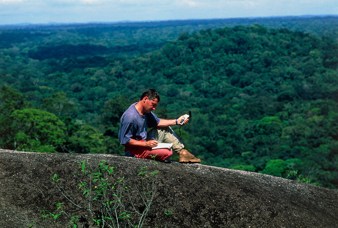
| Location by satellite. Male field biologist finding his location using the hand-held receiver of a global positioning system (GPS). The system has a network of 24 GPS satellites,each of which sends out signals about its position and the time. By using the signals from four satellites,the biologist's latitude,longitude,altitude and local time are displayed. Photographed in Guyana | |
| Licence : | Droits gérés |
| Crédit: | Science Photo Library / Goetgheluck, Pascal |
| Taille de l’image : | 5021 px × 3393 px |
| Model Release : | Le droit n'est pas encore disponible. Merci de nous contacter avant utilisation. |
| Property Release : | Non requis |
| Restrictions : | - |
Prix pour cette image À partir de 45 €
Produit vendu
(Calendrier, Carte postale, Carte de vœux, Impression sur textile, Packaging etc)
À partir de 45 €
Usage commercial
(Affichage, Annonce presse, Annonce TV, Carte, Digital - hors rés. sociaux, Digital - rés. sociaux etc)
À partir de 45 €
Éditorial
(Digital, Journal, Livre, Livre pratique, Magazine, Télévision etc)
À partir de 60 €
Usage non-commercial
(Digital - hors rés. sociaux, Digital - rés. sociaux etc)
À partir de 120 €