Nazca lines
Numéro d’image : 11750622
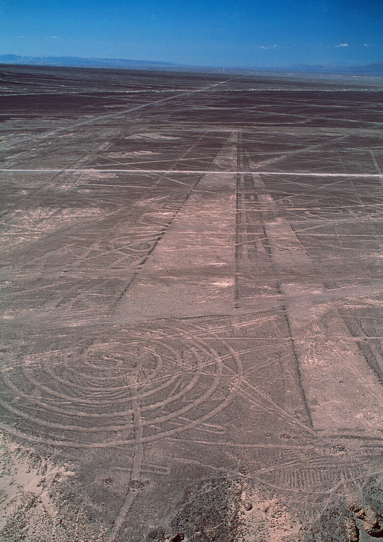
| Nazca lines. Aerial photograph of geoglyphs,or landscape drawings,in the coastal desert of southern Peru. One geoglyph (white lines,lower left) takes a spiral shape. Others are long rectangular strips. Many of the geoglyphs take the form of stylised animals and other objects. They cover huge areas and can only be properly seen from the air. They were made by removing the dark surface stone to reveal a lighter stone layer underneath. They are thought to have been made by the Nazca,a native South American people,around 2000 years ago. Theories about the lines have ranged from uses in astronomy (for seasonal agriculture) to ceremonial uses in religion | |
| Licence : | Droits gérés |
| Crédit: | Science Photo Library / Nunuk, David |
| Taille de l’image : | 3150 px × 4456 px |
| Model Release : | Non requis |
| Property Release : | Non requis |
| Restrictions : | - |
Prix pour cette image À partir de 45 €
Produit vendu
(Calendrier, Carte postale, Carte de vœux, Impression sur textile, Packaging etc)
À partir de 45 €
Usage commercial
(Affichage, Annonce presse, Annonce TV, Carte, Digital - hors rés. sociaux, Digital - rés. sociaux etc)
À partir de 45 €
Éditorial
(Digital, Journal, Livre, Livre pratique, Magazine, Télévision etc)
À partir de 60 €
Usage non-commercial
(Digital - hors rés. sociaux, Digital - rés. sociaux etc)
À partir de 120 €
Mots clés
- adoration,
- ancien,
- archéologie,
- archéologie cognitive,
- astronomie,
- astronomique,
- cérémonial,
- civilisation ancienne,
- civilisation antique,
- contours,
- culte,
- désert,
- dessins de paysages,
- dessins paysages,
- géoglyphes,
- illustration,
- lignes Nazca,
- Nasca,
- oeuvre,
- péruvien,
- photo aérienne,
- photographie aérienne,
- pourtours,
- religieux,
- religion,
- sol,
- spirale,
- Sud Américain,
- Sud-Américain