Coloured radar satellite image of Brussels
Numéro d’image : 11748685
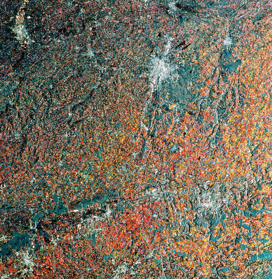
| Brussels. Coloured radar satellite image of Brussels (upper centre,white),capital of Belgium and administrative headquarters of the European Community. North is towards the top. This image was made by combining three frames taken on different dates. Differences between the frames show as areas of colour. Farmland is mostly red and orange,the different colours indicating growth of different crops between frames. Forested areas appear green and towns white. Just northeast of Brussels is the city's airport (black). The French town Valenciennes appears in the lower left. Image produced by European Radar Satellite 1. The area shown is approximately 100km x 100km | |
| Licence : | Droits gérés |
| Crédit: | Science Photo Library / ESA, EURIMAGE |
| Taille de l’image : | 4607 px × 4711 px |
| Model Release : | Non requis |
| Property Release : | Non requis |
| Restrictions : |
|
Prix pour cette image À partir de 45 €
Produit vendu
(Calendrier, Carte postale, Carte de vœux, Impression sur textile, Packaging etc)
À partir de 45 €
Usage commercial
(Affichage, Annonce presse, Annonce TV, Carte, Digital - hors rés. sociaux, Digital - rés. sociaux etc)
À partir de 45 €
Éditorial
(Digital, Journal, Livre, Livre pratique, Magazine, Télévision etc)
À partir de 60 €
Usage non-commercial
(Digital - hors rés. sociaux, Digital - rés. sociaux etc)
À partir de 120 €