Islands in the Caribbean sea
Numéro d’image : 11746330
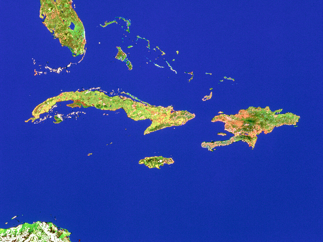
| Caribbean Sea. Mosaic of satellite images showing the major islands of the Caribbean Sea. The largest island is Cuba (left of centre). Just right of centre is Hispaniola,split into the countries of Haiti (west) and the Dominican Republic (east). Just below Cuba,near centre,is Jamaica. Above Cuba are the islands of the Bahamas. The land at top left is the Florida Peninsula,USA,and at bottom left is the Yucatan Peninsula in Honduras. The data for this image were gathered by NOAA weather satellites | |
| Licence : | Droits gérés |
| Crédit: | Science Photo Library / Worldsat International |
| Taille de l’image : | 4843 px × 3625 px |
| Model Release : | Non requis |
| Property Release : | Non requis |
| Restrictions : |
|
Prix pour cette image À partir de 45 €
Produit vendu
(Calendrier, Carte postale, Carte de vœux, Impression sur textile, Packaging etc)
À partir de 45 €
Usage commercial
(Affichage, Annonce presse, Annonce TV, Carte, Digital - hors rés. sociaux, Digital - rés. sociaux etc)
À partir de 45 €
Éditorial
(Digital, Journal, Livre, Livre pratique, Magazine, Télévision etc)
À partir de 60 €
Usage non-commercial
(Digital - hors rés. sociaux, Digital - rés. sociaux etc)
À partir de 120 €