Island on the Zambezi river
Numéro d’image : 11744970
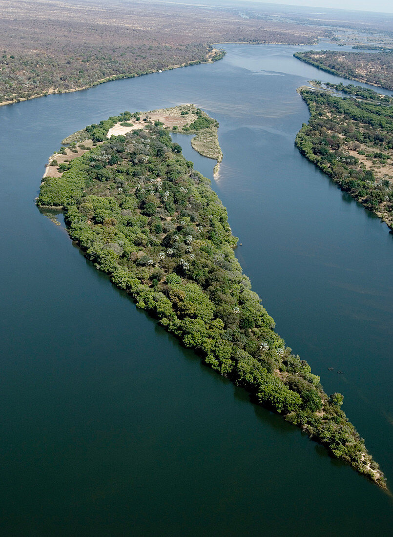
| Island on the Zambezi river,aerial photograph. This island is upstream from Victoria Falls. Zimbabwe is the land on the left (south) riverbank and Zambia is on the right (north). The Zambezi rises in northwest Zambia and flows for 2574 kilometres before emptying into the Indian Ocean in Mozambique. Photographed during the dry season,October,2006 | |
| Licence : | Droits gérés |
| Crédit: | Science Photo Library / Camacho, Tony |
| Taille de l’image : | 2848 px × 3890 px |
| Model Release : | Non requis |
| Property Release : | Non requis |
| Restrictions : | - |
Prix pour cette image À partir de 45 €
Produit vendu
(Calendrier, Carte postale, Carte de vœux, Impression sur textile, Packaging etc)
À partir de 45 €
Usage commercial
(Affichage, Annonce presse, Annonce TV, Carte, Digital - hors rés. sociaux, Digital - rés. sociaux etc)
À partir de 45 €
Éditorial
(Digital, Journal, Livre, Livre pratique, Magazine, Télévision etc)
À partir de 60 €
Usage non-commercial
(Digital - hors rés. sociaux, Digital - rés. sociaux etc)
À partir de 120 €
Mots clés
- 2006,
- africain,
- Afrique,
- bois,
- boisé,
- circuler,
- écoulement,
- en amont,
- environnement,
- état,
- fleuve Zambèze,
- forêt,
- frontière,
- frontière internationale,
- géographie,
- géographique,
- île,
- international,
- isolé,
- milieu,
- nation,
- nations,
- octobre,
- photo aérienne,
- photographie aérienne,
- région boisée,
- rivière,
- rivière Zambèse,
- s'écouler,
- saison sèche,
- seul,
- terre,
- Zambèse,
- Zambèze,
- Zambie,
- Zimbabwé