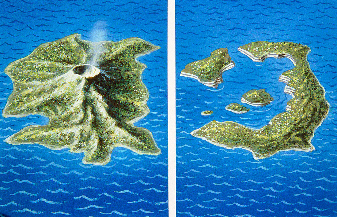
Santorini before and after explosion of 1470 BC
Numéro d’image : 11740559

| Illustration showing the possible shape of Santorini before and after the eruption of 1470BC. Santorini is an island in the Aegean Sea,about 100 km north of Crete. Positioned near a destructive plate margin,the island probably looked like the frame at left,with a central large volcano. This volcano suffered a catastrophic caldera collapse in 1470 BC,similar to but much larger than the explosion of Krakatau in Indonesia in 1883. All that is left today is a small ring of islands. It is possible that a Minoan city state on the island,destroyed in the eruption,was the basis for the legend of Atlantis | |
| Licence : | Droits gérés |
| Crédit: | Science Photo Library / Hardy, David |
| Taille de l’image : | 5116 px × 3300 px |
| Model Release : | Non requis |
| Property Release : | Non requis |
| Restrictions : | - |
Prix pour cette image À partir de 45 €
Produit vendu
(Calendrier, Carte postale, Carte de vœux, Impression sur textile, Packaging etc)
À partir de 45 €
Usage commercial
(Affichage, Annonce presse, Annonce TV, Carte, Digital - hors rés. sociaux, Digital - rés. sociaux etc)
À partir de 45 €
Éditorial
(Digital, Journal, Livre, Livre pratique, Magazine, Télévision etc)
À partir de 60 €
Usage non-commercial
(Digital - hors rés. sociaux, Digital - rés. sociaux etc)
À partir de 120 €
