North-eastern Europe
Numéro d’image : 11735742
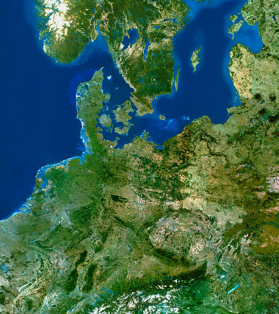
| North-eastern Europe. True-colour satellite image of north-eastern Europe. North is at top. Water is blue,vegetation is green and snow is white. The southern tips of Norway (upper left) and Sweden (upper centre) lie to the north of the Jutland (Jylland) Peninsula that forms the main part of Denmark. Germany is to the south of Denmark,with Poland at lower right and the low countries (Netherlands,Belgium and Luxembourg) at lower left. Part of Estonia is seen to the north of Latvia at top right. The Baltic Sea,an almost totally enclosed body of water,is at upper right,while the North Sea is at top left | |
| Licence : | Droits gérés |
| Crédit: | Science Photo Library / Planetobserver |
| Taille de l’image : | 3988 px × 4488 px |
| Model Release : | Non requis |
| Property Release : | Non requis |
| Restrictions : | - |
Prix pour cette image À partir de 45 €
Produit vendu
(Calendrier, Carte postale, Carte de vœux, Impression sur textile, Packaging etc)
À partir de 45 €
Usage commercial
(Affichage, Annonce presse, Annonce TV, Carte, Digital - hors rés. sociaux, Digital - rés. sociaux etc)
À partir de 45 €
Éditorial
(Digital, Journal, Livre, Livre pratique, Magazine, Télévision etc)
À partir de 60 €
Usage non-commercial
(Digital - hors rés. sociaux, Digital - rés. sociaux etc)
À partir de 120 €