South-eastern USA
Numéro d’image : 11735674
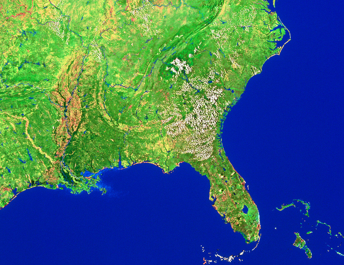
| South-eastern USA. Mosaic of satellite images showing the south-eastern states of the USA. Most prominent of these is Florida,the peninsula at lower right. Above this is the Atlantic Seaboard,the states of North and South Carolina and Georgia. At top right is the lagoon-like Cape Hatteras. To the left of Florida is the Gulf of Mexico,with the states of Alabama,Mississippi (note the delta),Louisiana and Texas. The islands at bottom right are in The Bahamas. The data for this image were gathered by NOAA weather satellites | |
| Licence : | Droits gérés |
| Crédit: | Science Photo Library / Worldsat International |
| Taille de l’image : | 4743 px × 3647 px |
| Model Release : | Non requis |
| Property Release : | Non requis |
| Restrictions : |
|
Prix pour cette image À partir de 45 €
Produit vendu
(Calendrier, Carte postale, Carte de vœux, Impression sur textile, Packaging etc)
À partir de 45 €
Usage commercial
(Affichage, Annonce presse, Annonce TV, Carte, Digital - hors rés. sociaux, Digital - rés. sociaux etc)
À partir de 45 €
Éditorial
(Digital, Journal, Livre, Livre pratique, Magazine, Télévision etc)
À partir de 60 €
Usage non-commercial
(Digital - hors rés. sociaux, Digital - rés. sociaux etc)
À partir de 120 €