Satellite mosaic of Nigeria
Numéro d’image : 11735669
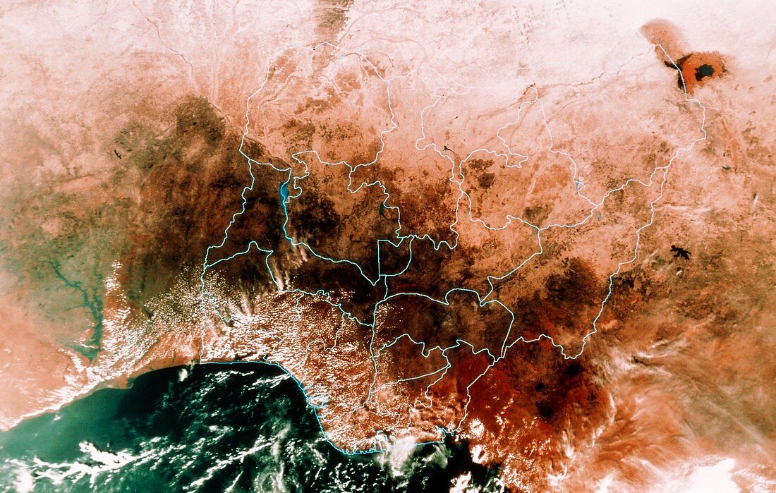
| Nigeria seen from space. False-colour mosaic of satellite images showing the African state of Nigeria. The blue lines superimposed on the image show the boundaries of Nigeria's provinces. Most of the land is forested (dark),with the northern provinces in semi-desert. The water at lower left is in the Gulf of Guinea,part of the eastern Atlantic Ocean. The data for this image were gathered by NOAA weather satellites | |
| Licence : | Droits gérés |
| Crédit: | Science Photo Library / MDA Information Systems |
| Taille de l’image : | 5303 px × 3370 px |
| Model Release : | Non requis |
| Property Release : | Non requis |
| Restrictions : | - |
Prix pour cette image À partir de 45 €
Produit vendu
(Calendrier, Carte postale, Carte de vœux, Impression sur textile, Packaging etc)
À partir de 45 €
Usage commercial
(Affichage, Annonce presse, Annonce TV, Carte, Digital - hors rés. sociaux, Digital - rés. sociaux etc)
À partir de 45 €
Éditorial
(Digital, Journal, Livre, Livre pratique, Magazine, Télévision etc)
À partir de 60 €
Usage non-commercial
(Digital - hors rés. sociaux, Digital - rés. sociaux etc)
À partir de 120 €