Map of Europe,from de Wit's Atlas of 1689
Numéro d’image : 11735483
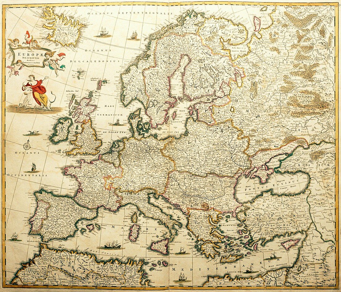
| Map of Europe. This is taken from the World Atlas of Frederick de Wit,dated 1689. The coastline of continental Europe is remarkably accurate,although some of the islands are slightly mis- shapen. Note also that the political shape of Europe,especially in the east,is very different to that of today | |
| Licence : | Droits gérés |
| Crédit: | Science Photo Library / Bernard, George |
| Taille de l’image : | 4518 px × 3869 px |
| Model Release : | Non requis |
| Property Release : | Non requis |
| Restrictions : | - |
Prix pour cette image À partir de 45 €
Produit vendu
(Calendrier, Carte postale, Carte de vœux, Impression sur textile, Packaging etc)
À partir de 45 €
Usage commercial
(Affichage, Annonce presse, Annonce TV, Carte, Digital - hors rés. sociaux, Digital - rés. sociaux etc)
À partir de 45 €
Éditorial
(Digital, Journal, Livre, Livre pratique, Magazine, Télévision etc)
À partir de 60 €
Usage non-commercial
(Digital - hors rés. sociaux, Digital - rés. sociaux etc)
À partir de 120 €