Earth centred on the Pacific Ocean
Numéro d’image : 11735092
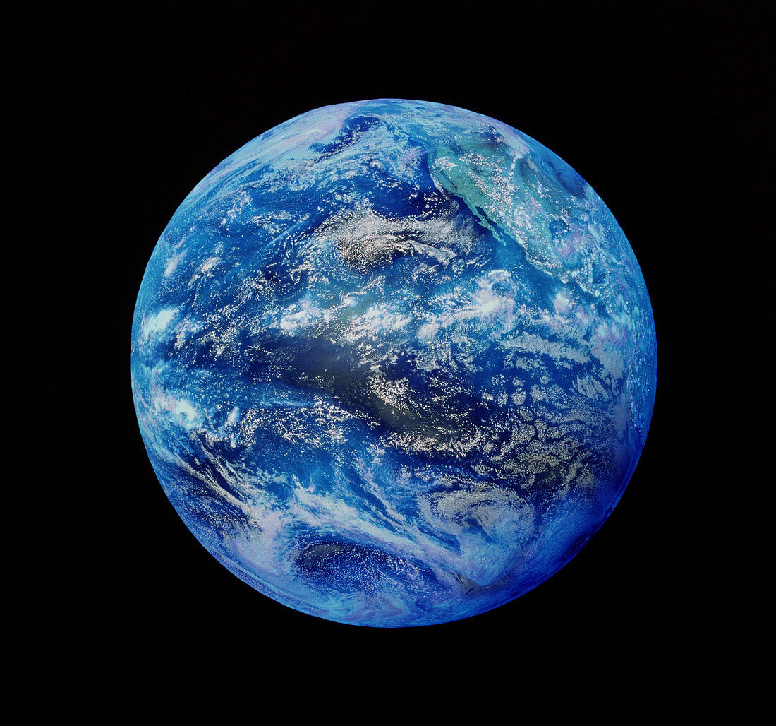
| Whole Earth. Satellite image of the whole Earth centred on the Pacific Ocean. At top right is the west coast of North America. Weather systems demarcated by white cloud formations are seen. The image was obtained in September 1998 by a Geostationary Operational Environmental Satellite (GOES) operated by the US National Oceanic and Atmospheric Administration (NOAA). GOES satellites track movements of weather systems and provide data for accurate weather forecasts | |
| Licence : | Droits gérés |
| Crédit: | Science Photo Library |
| Taille de l’image : | 3928 px × 3670 px |
| Model Release : | Non requis |
| Property Release : | Non requis |
| Restrictions : | - |
Prix pour cette image À partir de 45 €
Produit vendu
(Calendrier, Carte postale, Carte de vœux, Impression sur textile, Packaging etc)
À partir de 45 €
Usage commercial
(Affichage, Annonce presse, Annonce TV, Carte, Digital - hors rés. sociaux, Digital - rés. sociaux etc)
À partir de 45 €
Éditorial
(Digital, Journal, Livre, Livre pratique, Magazine, Télévision etc)
À partir de 60 €
Usage non-commercial
(Digital - hors rés. sociaux, Digital - rés. sociaux etc)
À partir de 120 €