Satellite image of the Earth,centred on America
Numéro d’image : 11735050
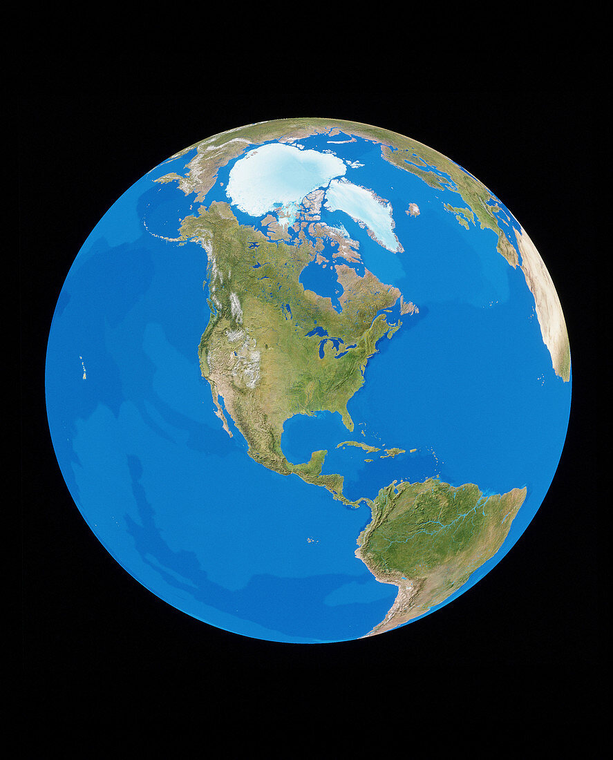
| Earth from space. Cloudless satellite image of the Earth,centred on North America. The colours of the land approximate to natural tones,whilst blue colour-codes represent ocean topography. Temperate and tropical regions tend to appear green as they are vegetated. Arid deserts are brown and snowy regions white. This image was compiled from data acquired by NOAA weather satellites over eleven ten-day periods at an altitude of 833 kilometres to give a resolution of 1 kilometre | |
| Licence : | Droits gérés |
| Crédit: | Science Photo Library / PLANETARY VISIONS / TOM VAN SANT, GEOSPHERE PROJECT |
| Taille de l’image : | 3341 px × 4144 px |
| Model Release : | Non requis |
| Property Release : | Non requis |
| Restrictions : |
|
Prix pour cette image À partir de 45 €
Produit vendu
(Calendrier, Carte postale, Carte de vœux, Impression sur textile, Packaging etc)
À partir de 45 €
Usage commercial
(Affichage, Annonce presse, Annonce TV, Carte, Digital - hors rés. sociaux, Digital - rés. sociaux etc)
À partir de 45 €
Éditorial
(Digital, Journal, Livre, Livre pratique, Magazine, Télévision etc)
À partir de 60 €
Usage non-commercial
(Digital - hors rés. sociaux, Digital - rés. sociaux etc)
À partir de 120 €