Greece and Turkey,1803 Turkish atlas
Numéro d’image : 11730635
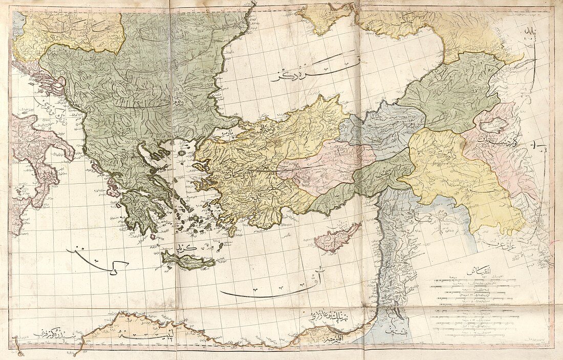
| Greece and Turkey. Early 19th-century map of Greece and Turkey with labels in Ottoman Turkish. Places and regions shown include the Black Sea,the Aegean Sea,the Adriatic Sea,the eastern Mediterranean Sea,and the islands of Crete and Cyprus. This map is from 'Cedid atlas tercumesi' (1803),an atlas produced by Tab'hane-yi Humayun and published in Istanbul,Turkey,during the period of the Ottoman Empire. The maps were based on those made by British cartographer William Faden (1749-1836) for his General atlas | |
| Licence : | Droits gérés |
| Crédit: | Science Photo Library / LIBRARY OF CONGRESS, Geography and Map Division |
| Taille de l’image : | 7409 px × 4736 px |
| Model Release : | Non requis |
| Property Release : | Non requis |
| Restrictions : | - |
Prix pour cette image À partir de 45 €
Produit vendu
(Calendrier, Carte postale, Carte de vœux, Impression sur textile, Packaging etc)
À partir de 45 €
Usage commercial
(Affichage, Annonce presse, Annonce TV, Carte, Digital - hors rés. sociaux, Digital - rés. sociaux etc)
À partir de 45 €
Éditorial
(Digital, Journal, Livre, Livre pratique, Magazine, Télévision etc)
À partir de 60 €
Usage non-commercial
(Digital - hors rés. sociaux, Digital - rés. sociaux etc)
À partir de 120 €
Mots clés
- 1800,
- 1803,
- 19ème siècle,
- années 1800,
- atlas,
- aucun,
- carte,
- cartographie,
- Chypre,
- Crète,
- empire ottoman,
- empire turc,
- état,
- géographie,
- géographique,
- grec,
- Grèce,
- histoire,
- historique,
- île,
- îles,
- illustration,
- mer adriatique,
- Mer Egée,
- mer égée,
- Mer Noire,
- nation,
- oeuvre,
- Ottoman,
- pays,
- personne,
- publication,
- région,
- schéma,
- turc,
- Turquie,
- XIXème siècle