Cook's map of Botany Bay,illustration
Numéro d’image : 11711334
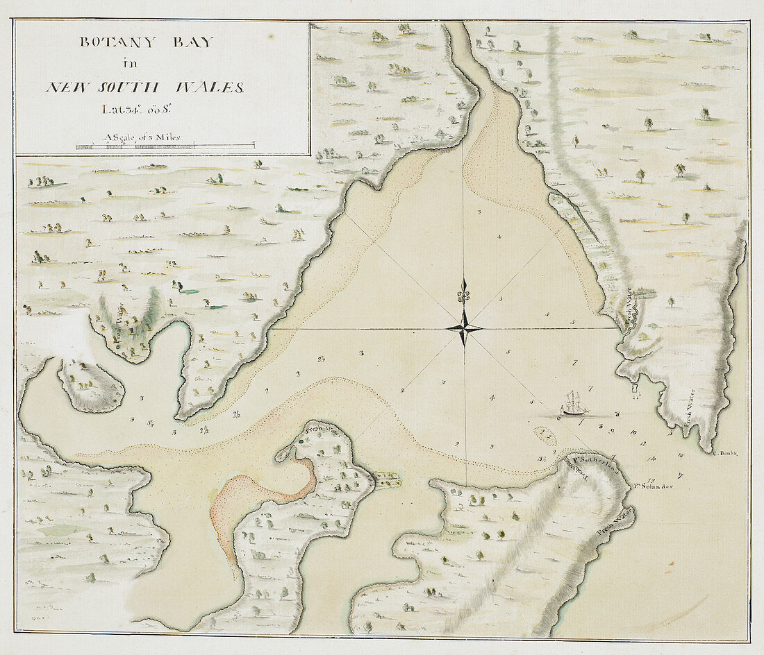
| Cook's map of Botany Bay,illustration. Map of Botany Bay,New South Wales,Australia,made during Captain Cook's First Voyage in 1770. From 'Charts and maps illustrating the voyages and surveys of Captain James Cook and other discoverers',1770 | |
| Licence : | Droits gérés |
| Crédit: | Science Photo Library / British Library |
| Taille de l’image : | 6277 px × 5384 px |
| Model Release : | Non requis |
| Property Release : | Non requis |
| Restrictions : | - |
Prix pour cette image À partir de 45 €
Produit vendu
(Calendrier, Carte postale, Carte de vœux, Impression sur textile, Packaging etc)
À partir de 45 €
Usage commercial
(Affichage, Annonce presse, Annonce TV, Carte, Digital - hors rés. sociaux, Digital - rés. sociaux etc)
À partir de 45 €
Éditorial
(Digital, Journal, Livre, Livre pratique, Magazine, Télévision etc)
À partir de 60 €
Usage non-commercial
(Digital - hors rés. sociaux, Digital - rés. sociaux etc)
À partir de 120 €
Mots clés
- 1700,
- 1770,
- 18ème siècle,
- aucun,
- Australie,
- australien,
- botany bay,
- britannique,
- Captain Cook,
- carte,
- cartographie,
- continent,
- continents,
- découverte,
- européen,
- exploration,
- extrait,
- géographie,
- géographique,
- histoire,
- historique,
- illustration,
- JAMES COOK,
- manuscrit,
- Nouvelle Galles du Sud,
- Océan Pacifique,
- oeuvre,
- personne,
- premier voyage,
- XVIIIème siècle