15th Century map,artwork
Numéro d’image : 11691919
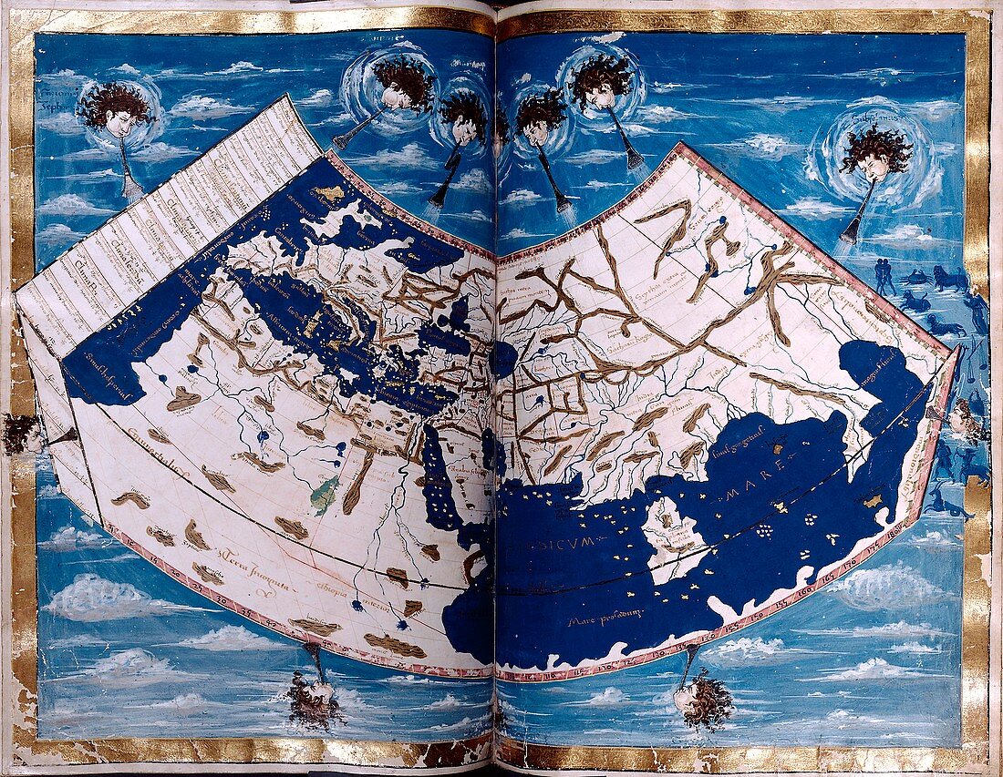
| 15th Century map. 15th Century map by the German cartographer Nicolaus Germanus,showing Europe,Africa,the Mediterranean,and Asia | |
| Licence : | Droits gérés |
| Crédit: | Science Photo Library / NEW YORK PUBLIC LIBRARY / Renaissance and medieval manuscripts collection |
| Taille de l’image : | 4754 px × 3686 px |
| Model Release : | Non requis |
| Property Release : | Non requis |
| Restrictions : | - |
Prix pour cette image À partir de 45 €
Produit vendu
(Calendrier, Carte postale, Carte de vœux, Impression sur textile, Packaging etc)
À partir de 45 €
Usage commercial
(Affichage, Annonce presse, Annonce TV, Carte, Digital - hors rés. sociaux, Digital - rés. sociaux etc)
À partir de 45 €
Éditorial
(Digital, Journal, Livre, Livre pratique, Magazine, Télévision etc)
À partir de 60 €
Usage non-commercial
(Digital - hors rés. sociaux, Digital - rés. sociaux etc)
À partir de 120 €
Mots clés
- 1400,
- 15ème siècle,
- Afrique,
- allemand,
- Asie,
- aucun,
- carte,
- cartes,
- cartographie,
- continent,
- continents,
- Europe,
- extrait,
- géographie,
- géographique,
- germanique,
- histoire,
- histoire de la science,
- historique,
- illustration,
- livre,
- manuscrit,
- méditérranéen,
- navigation,
- oeuvre,
- pays,
- personne,
- vent,
- vents,
- XVème siècle