Gingerah (Donda Rajapore)
Numéro d’image : 11674013
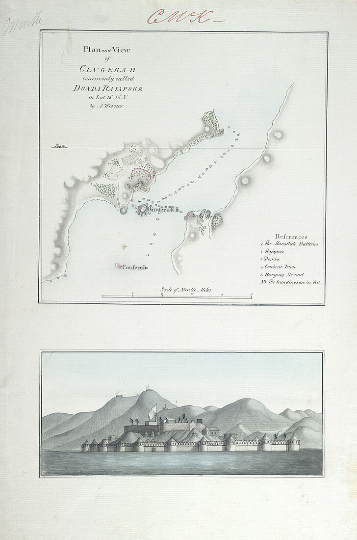
| Gingerah (Donda Rajapore),Map of Gingerah (Donda Rajapore) and elevation of fort. 15.5 by 10 ins. Originally published in 1780 - 1820 | |
| Licence : | Droits gérés |
| Crédit: | Science Photo Library / British Library |
| Taille de l’image : | 3401 px × 5138 px |
| Model Release : | Non requis |
| Property Release : | Non requis |
| Restrictions : | - |
Prix pour cette image À partir de 45 €
Produit vendu
(Calendrier, Carte postale, Carte de vœux, Impression sur textile, Packaging etc)
À partir de 45 €
Usage commercial
(Affichage, Annonce presse, Annonce TV, Carte, Digital - hors rés. sociaux, Digital - rés. sociaux etc)
À partir de 45 €
Éditorial
(Digital, Journal, Livre, Livre pratique, Magazine, Télévision etc)
À partir de 60 €
Usage non-commercial
(Digital - hors rés. sociaux, Digital - rés. sociaux etc)
À partir de 120 €
Mots clés
- arts,
- arts plastiques,
- arts visuels,
- bâtiments militaires,
- bord de mer,
- caractéristiques terrestres,
- carte,
- cartographie,
- citadelle,
- complexe,
- complexe militaire,
- complexes,
- côte,
- côté,
- discipline,
- discipliner,
- fort,
- forteresse,
- front de mer,
- humanités,
- littoral,
- plage,
- rivage,
- sciences humaines,
- topographie