St.Kilda
Numéro d’image : 11674004
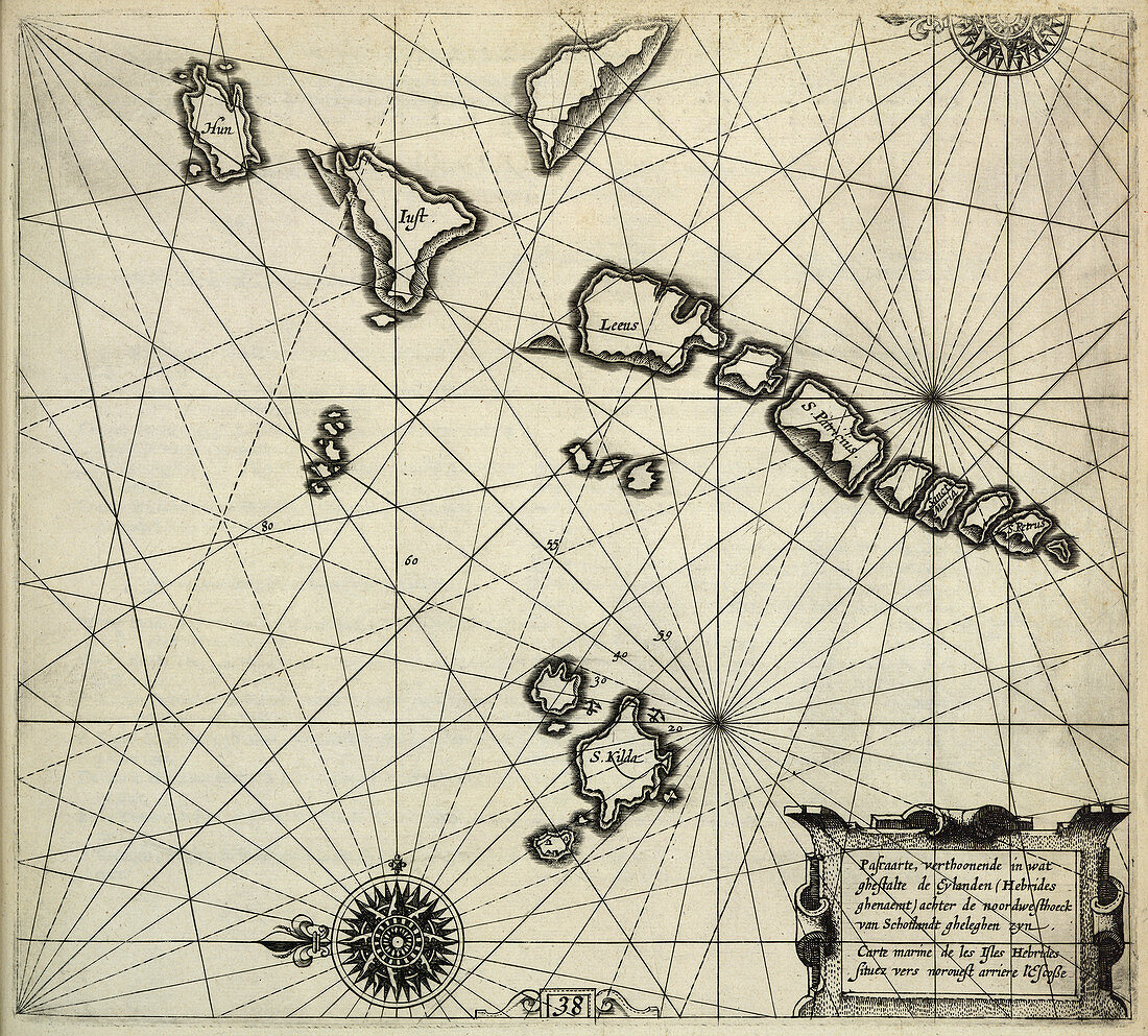
| St.Kilda Chart showing St.Kilda and other islands. Image taken from The Light of Navigation,wherein are declared and lively pourtrayed,all the Coasts and Havens,of the West,North and East Seas By William Johnson i.e. Willem Janszoon Blaeu. Translated from Het Licht der Zee-vaert. (The first book. pp. 114,and charts 1-6,8-19. The second book. pp. 118,and charts 20-41). 270 x 280 mm. Originally published in Amsterdam : Jean Jeansson,1620 | |
| Licence : | Droits gérés |
| Crédit: | Science Photo Library / British Library |
| Taille de l’image : | 4401 px × 3971 px |
| Model Release : | Non requis |
| Property Release : | Non requis |
| Restrictions : | - |
Prix pour cette image À partir de 45 €
Produit vendu
(Calendrier, Carte postale, Carte de vœux, Impression sur textile, Packaging etc)
À partir de 45 €
Usage commercial
(Affichage, Annonce presse, Annonce TV, Carte, Digital - hors rés. sociaux, Digital - rés. sociaux etc)
À partir de 45 €
Éditorial
(Digital, Journal, Livre, Livre pratique, Magazine, Télévision etc)
À partir de 60 €
Usage non-commercial
(Digital - hors rés. sociaux, Digital - rés. sociaux etc)
À partir de 120 €
Mots clés
- bateau,
- bord de mer,
- caractéristiques terrestres,
- carte,
- cartes,
- cartographie,
- côte,
- côté,
- diagramme,
- embarcation,
- Europe,
- europe occidentale,
- fantassin,
- front de mer,
- graphique,
- Hébrides,
- Hébrides extérieures,
- Iles Britanniques,
- îles Hébrides,
- littoral,
- navire,
- néerlandais,
- occupations militaires,
- plage,
- rivage,
- rive,
- soldat,
- tableau,
- topographie,
- transport,
- transport maritime,
- véhicule,
- véhicule aquatique,
- véhicule maritime,
- véhicule nautique