Eritrea
Numéro d’image : 11673958
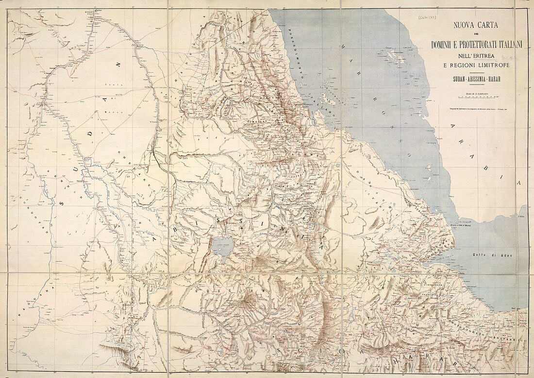
| A map of Eritrea and the surrounding region. Image taken from Nuova Carta dei Dominii e Protettorati Italiani nell' Eritrea e regioni limitrofe. Sudan,Abissinia,Harar. Scala di 1 : 1,500,000. 950 x 665 mm. Originally published in Rome,1895 | |
| Licence : | Droits gérés |
| Crédit: | Science Photo Library / British Library |
| Taille de l’image : | 4826 px × 3420 px |
| Model Release : | Non requis |
| Property Release : | Non requis |
| Restrictions : | - |
Prix pour cette image À partir de 45 €
Produit vendu
(Calendrier, Carte postale, Carte de vœux, Impression sur textile, Packaging etc)
À partir de 45 €
Usage commercial
(Affichage, Annonce presse, Annonce TV, Carte, Digital - hors rés. sociaux, Digital - rés. sociaux etc)
À partir de 45 €
Éditorial
(Digital, Journal, Livre, Livre pratique, Magazine, Télévision etc)
À partir de 60 €
Usage non-commercial
(Digital - hors rés. sociaux, Digital - rés. sociaux etc)
À partir de 120 €