Fowey and Plymouth
Numéro d’image : 11673501
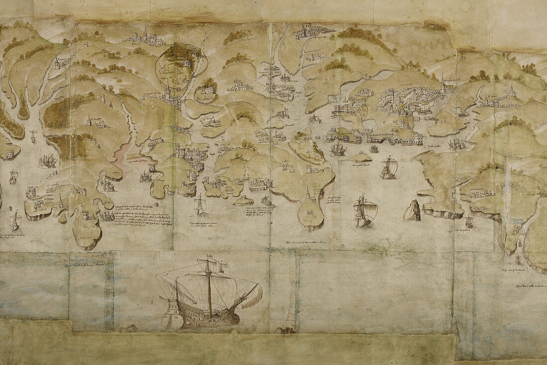
| Fowey and Plymouth,Part of roll Map of the coast between Fowey and Salcombe,including Plymouth. Part of a panoramic map of the coast from Land's End to Exmouth Image taken from Map of Cornwall. Originally published in England; circa 1539 | |
| Licence : | Droits gérés |
| Crédit: | Science Photo Library / British Library |
| Taille de l’image : | 5119 px × 3414 px |
| Model Release : | Non requis |
| Property Release : | Non requis |
| Restrictions : | - |
Prix pour cette image À partir de 45 €
Produit vendu
(Calendrier, Carte postale, Carte de vœux, Impression sur textile, Packaging etc)
À partir de 45 €
Usage commercial
(Affichage, Annonce presse, Annonce TV, Carte, Digital - hors rés. sociaux, Digital - rés. sociaux etc)
À partir de 45 €
Éditorial
(Digital, Journal, Livre, Livre pratique, Magazine, Télévision etc)
À partir de 60 €
Usage non-commercial
(Digital - hors rés. sociaux, Digital - rés. sociaux etc)
À partir de 120 €