Iran,pictorial map
Numéro d’image : 11603490
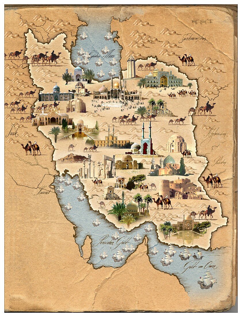
| Iran,pictorial map. This map shows Iran (centre) and the countries surrounding it. Pictures of camels,mountains,major cities and ancient buildings are shown. The buildings include mosques and palaces. To the North is the Caspian Sea,and to the south the Persian Gulf and Gulf of Oman | |
| Licence : | Droits gérés |
| Crédit: | Science Photo Library / Smetek |
| Taille de l’image : | 2724 px × 3564 px |
| Model Release : | Non requis |
| Property Release : | Non requis |
| Restrictions : | - |
Prix pour cette image À partir de 45 €
Produit vendu
(Calendrier, Carte postale, Carte de vœux, Impression sur textile, Packaging etc)
À partir de 45 €
Usage commercial
(Affichage, Annonce presse, Annonce TV, Carte, Digital - hors rés. sociaux, Digital - rés. sociaux etc)
À partir de 45 €
Éditorial
(Digital, Journal, Livre, Livre pratique, Magazine, Télévision etc)
À partir de 60 €
Usage non-commercial
(Digital - hors rés. sociaux, Digital - rés. sociaux etc)
À partir de 120 €
Mots clés
- adulte,
- asiatique,
- Asie,
- bâtiments,
- camelus,
- carte,
- cavalier,
- chameaux,
- commerçant,
- cycliste,
- état,
- géographie,
- géographique,
- histoire,
- historique,
- homme,
- illustration,
- illustré,
- immeubles,
- iran,
- iranien,
- marchand,
- masculin,
- motard,
- Moyen Orient,
- Moyen-Orient,
- nation,
- négociant,
- oeuvre,
- palais,
- pays,
- persan,
- pictural