Farmland,Minnesota,USA,satellite image
Numéro d’image : 11601908
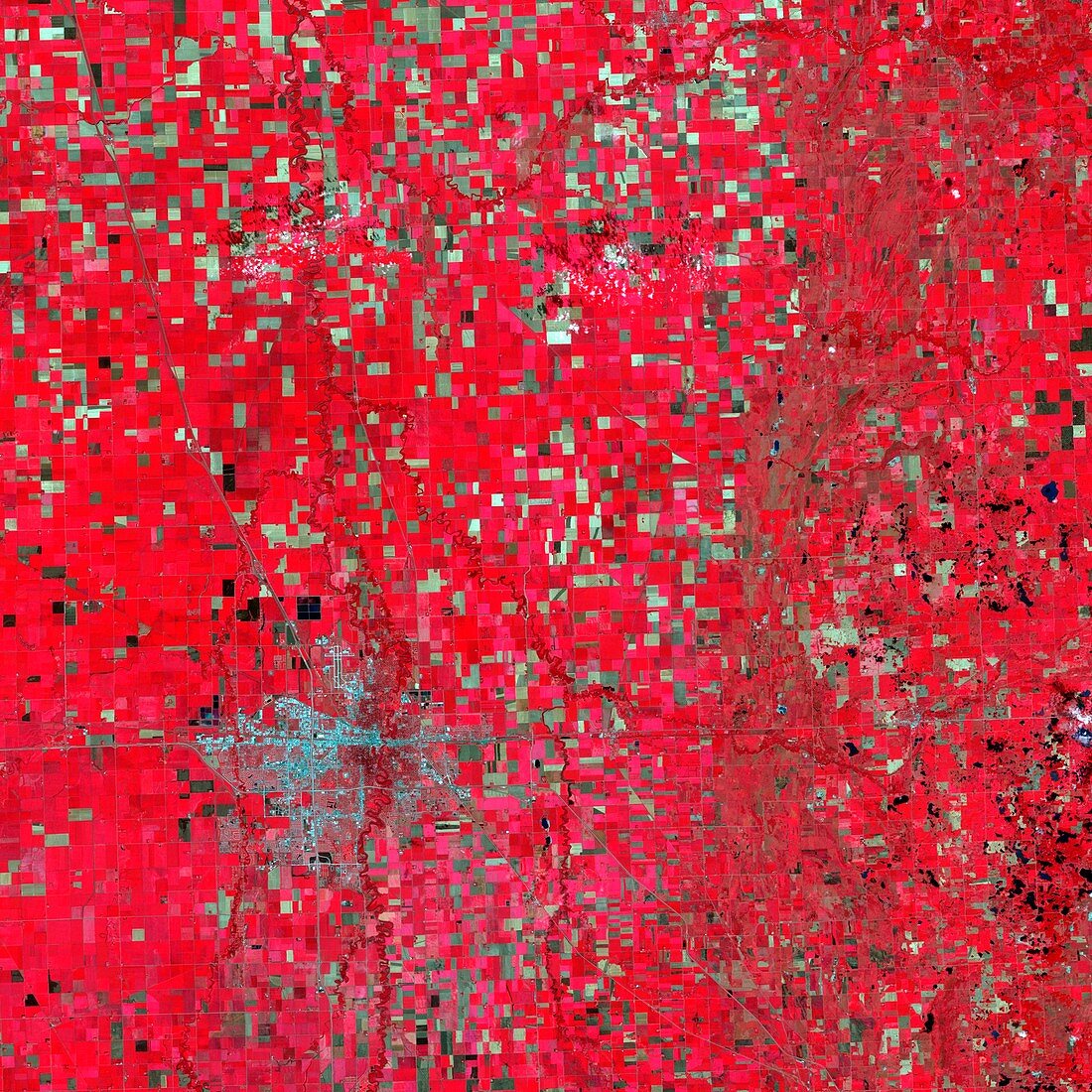
| Farmland,Minnesota,USA. False coloured satellite image of Minnesota farm fields imaged by the Landsat satellite on September 10,2009. Infrared sensors provide data which is colour coded. Yellows reveal regions where crops are infested,shades of red indicate crop health,black where flooding occurs,and brown where unwanted pesticides land on chemical-free crops | |
| Licence : | Droits gérés |
| Crédit: | Science Photo Library / NASA |
| Taille de l’image : | 2979 px × 2979 px |
| Model Release : | Non requis |
| Property Release : | Non requis |
| Restrictions : | - |
Prix pour cette image À partir de 45 €
Produit vendu
(Calendrier, Carte postale, Carte de vœux, Impression sur textile, Packaging etc)
À partir de 45 €
Usage commercial
(Affichage, Annonce presse, Annonce TV, Carte, Digital - hors rés. sociaux, Digital - rés. sociaux etc)
À partir de 45 €
Éditorial
(Digital, Journal, Livre, Livre pratique, Magazine, Télévision etc)
À partir de 60 €
Usage non-commercial
(Digital - hors rés. sociaux, Digital - rés. sociaux etc)
À partir de 120 €